
DOC Maps: Agriculture
The California Department of Conservation provides data and services to support the preservation of agricultural land in agricultural uses.
The Division of Land Resource Protection (DLRP) develops most of the Department of Conservation's agriculturally related data. Other divisions also distribute data on activities that may impact agricultural lands.
Quick Access
- Interactive Web Maps: Subject specific web maps
- Data Viewer: Pick the data to explore
- Agriculturally Related Data & Maps: Find Data
Interactive Web Maps
Scroll through the available web maps at the bottom. Click on the large picture (or the Open Map link) to open the web map in a new tab.-
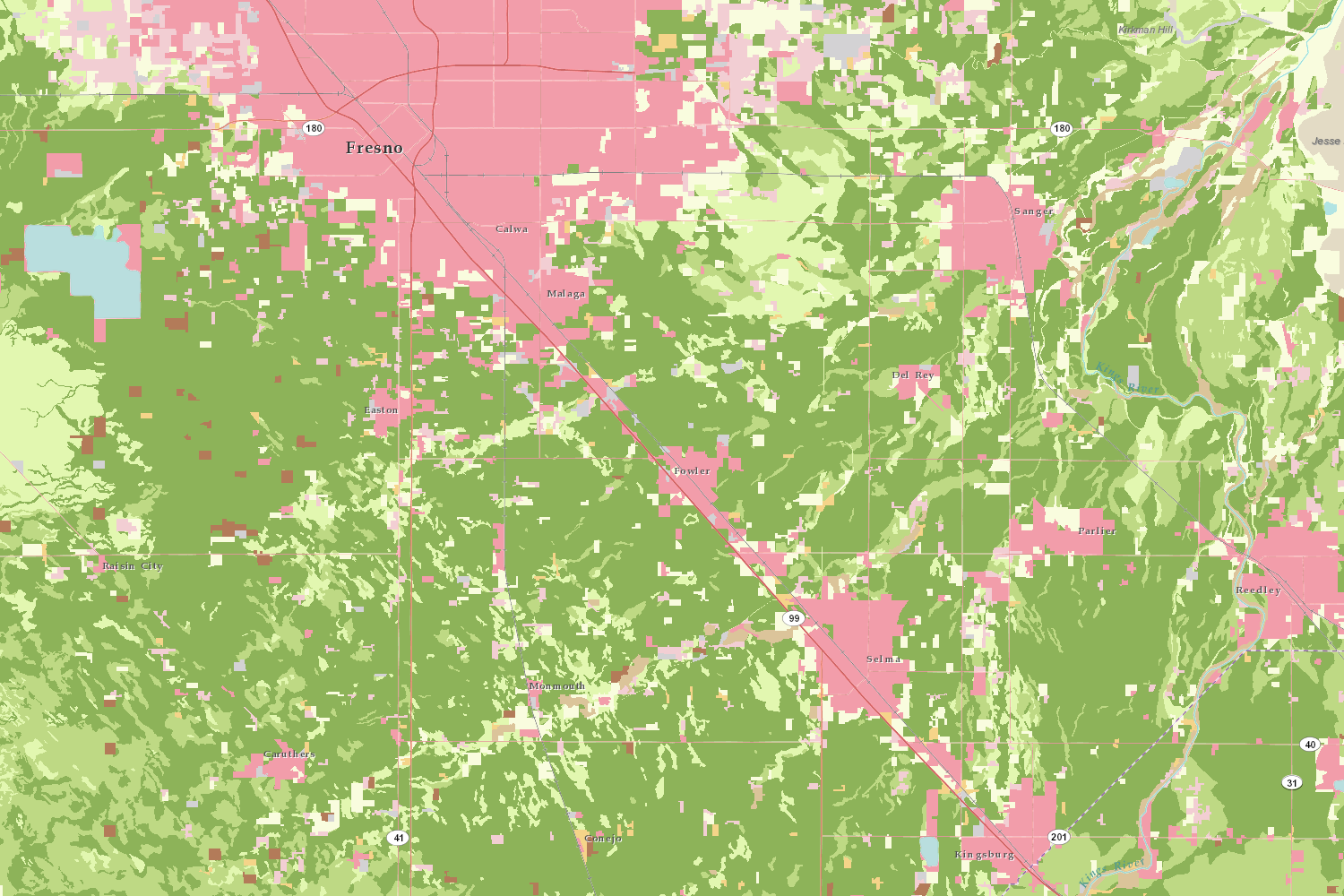
Important Farmland Time Series (open map)
-
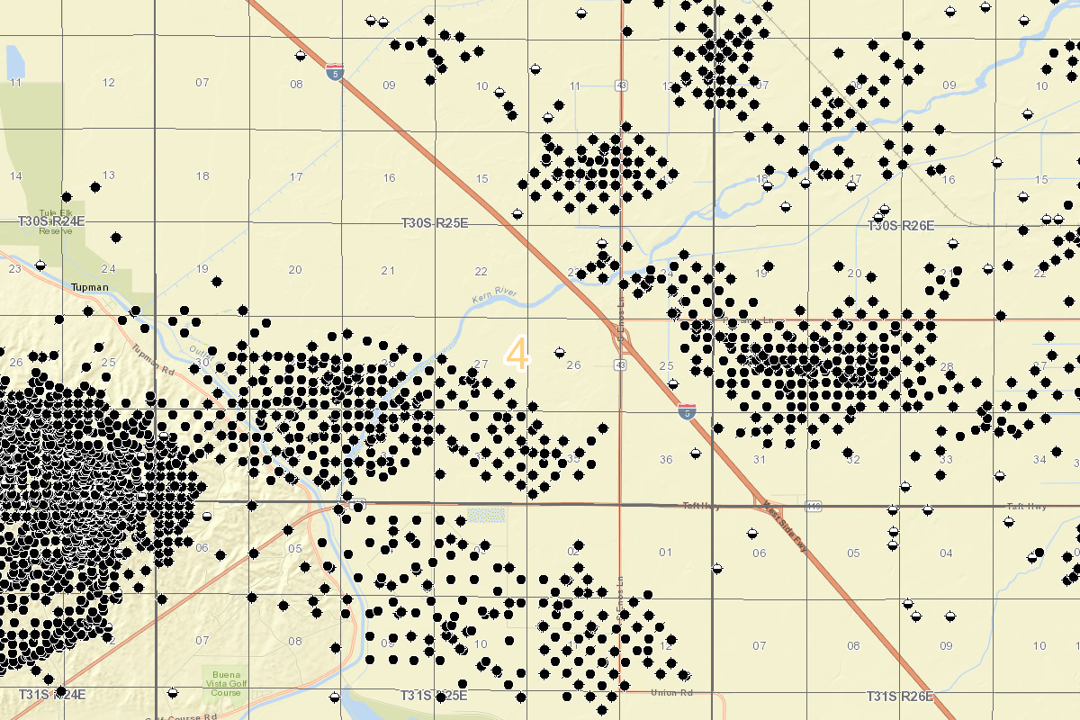
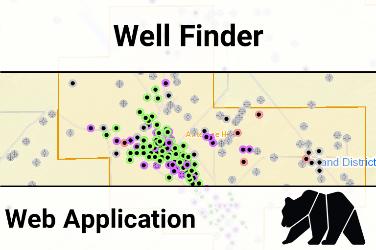
Oil & Gas Well Finder (open map)
-
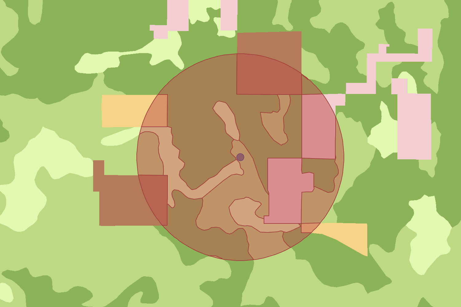
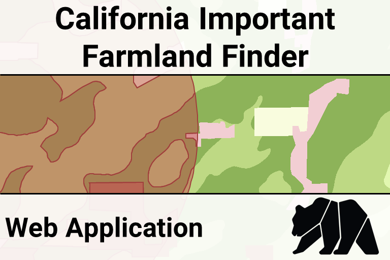
California Important Farmland Finder (open map)
Data Viewer
Open full screen in a new tabAgriculturally Related Data & Maps
Notes:- [AGOL] indicates that the Department of Conservation's official ArcGIS Online account hosts the data using cloud-based services.