
DOC Maps: California Geological Survey
The California Geological Survey (CGS) is dedicated to providing scientific products and services about the state’s geology, seismology, and mineral resources that affect the health, safety, and business interests of the people of California.
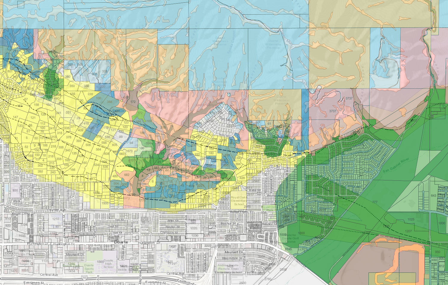
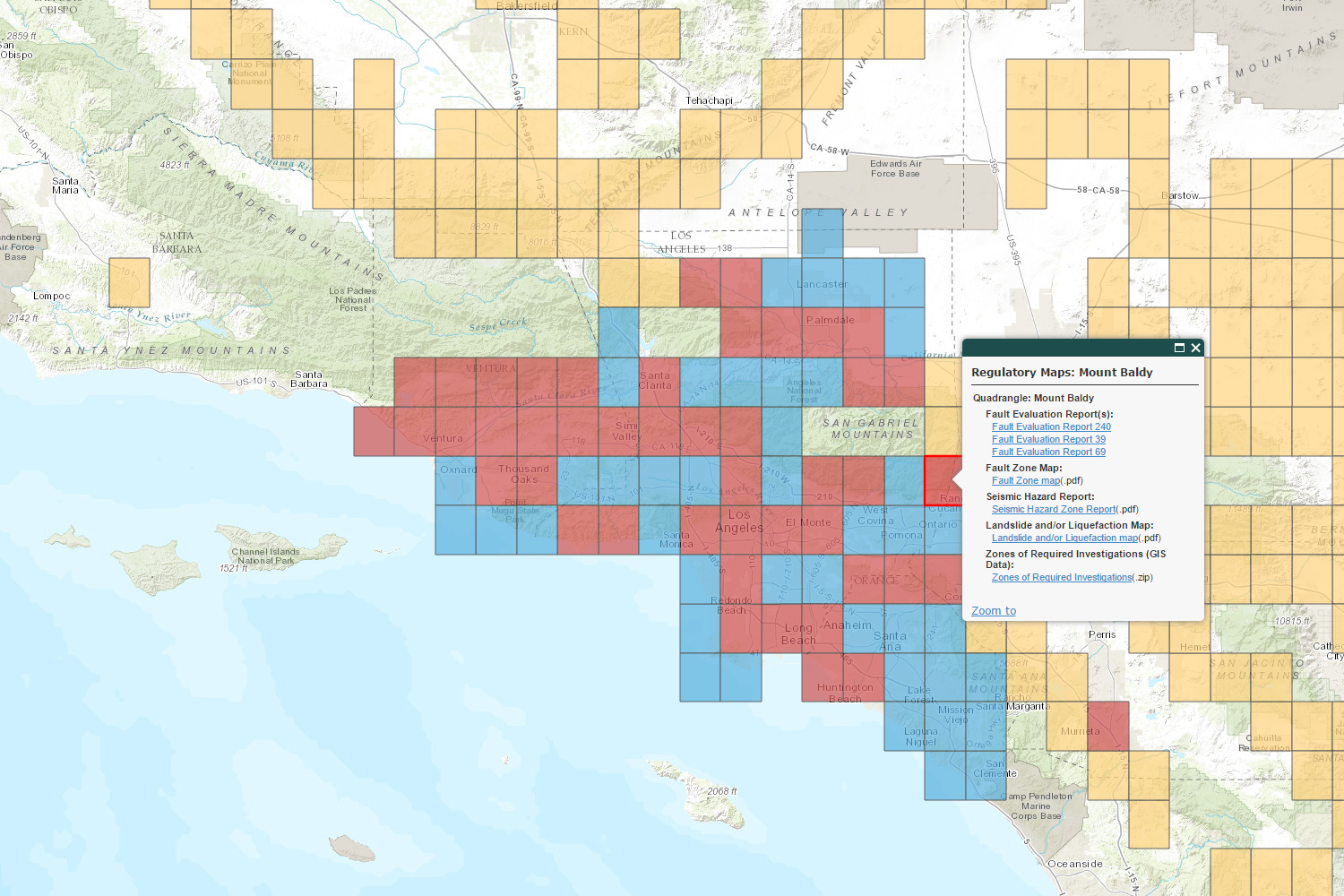
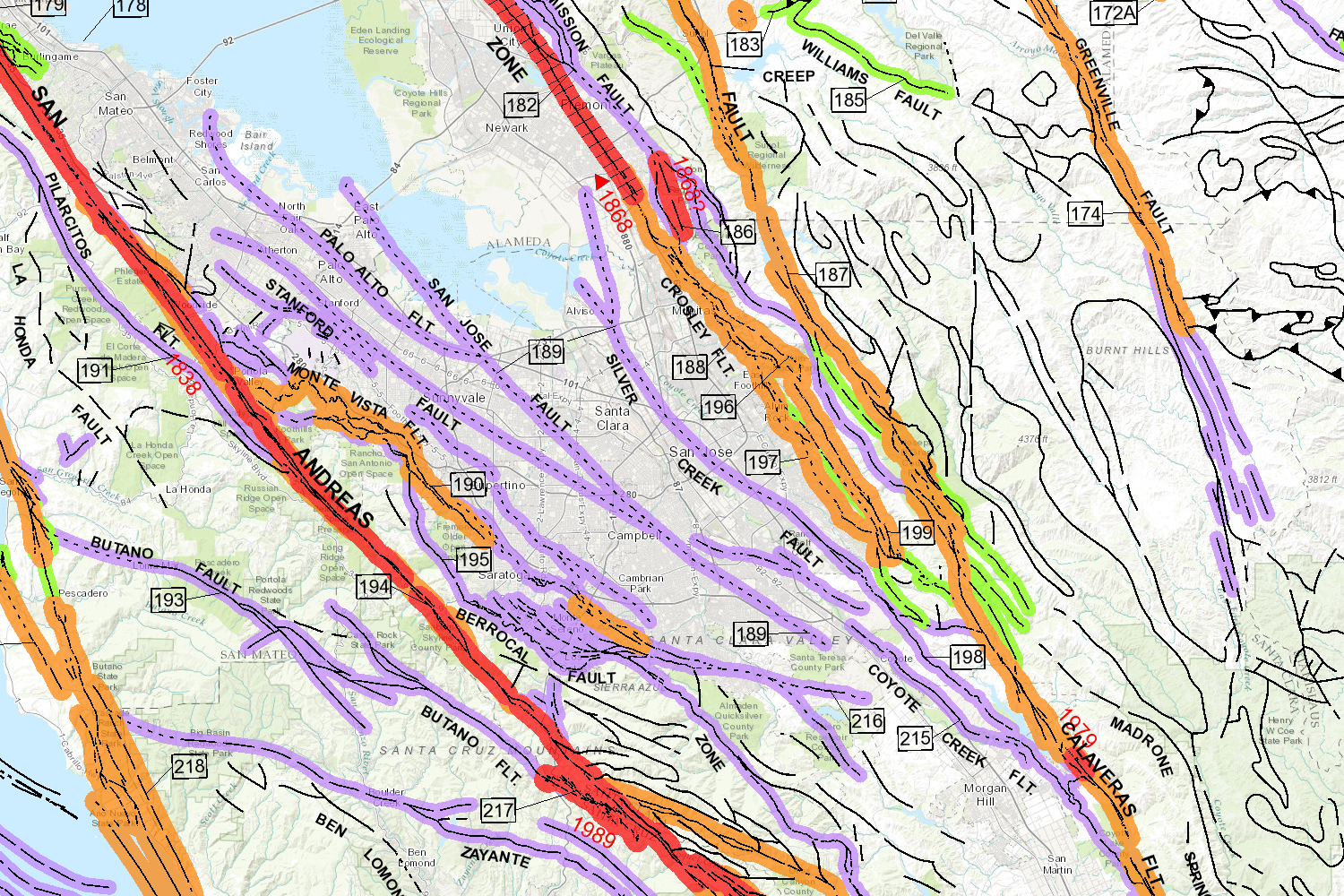
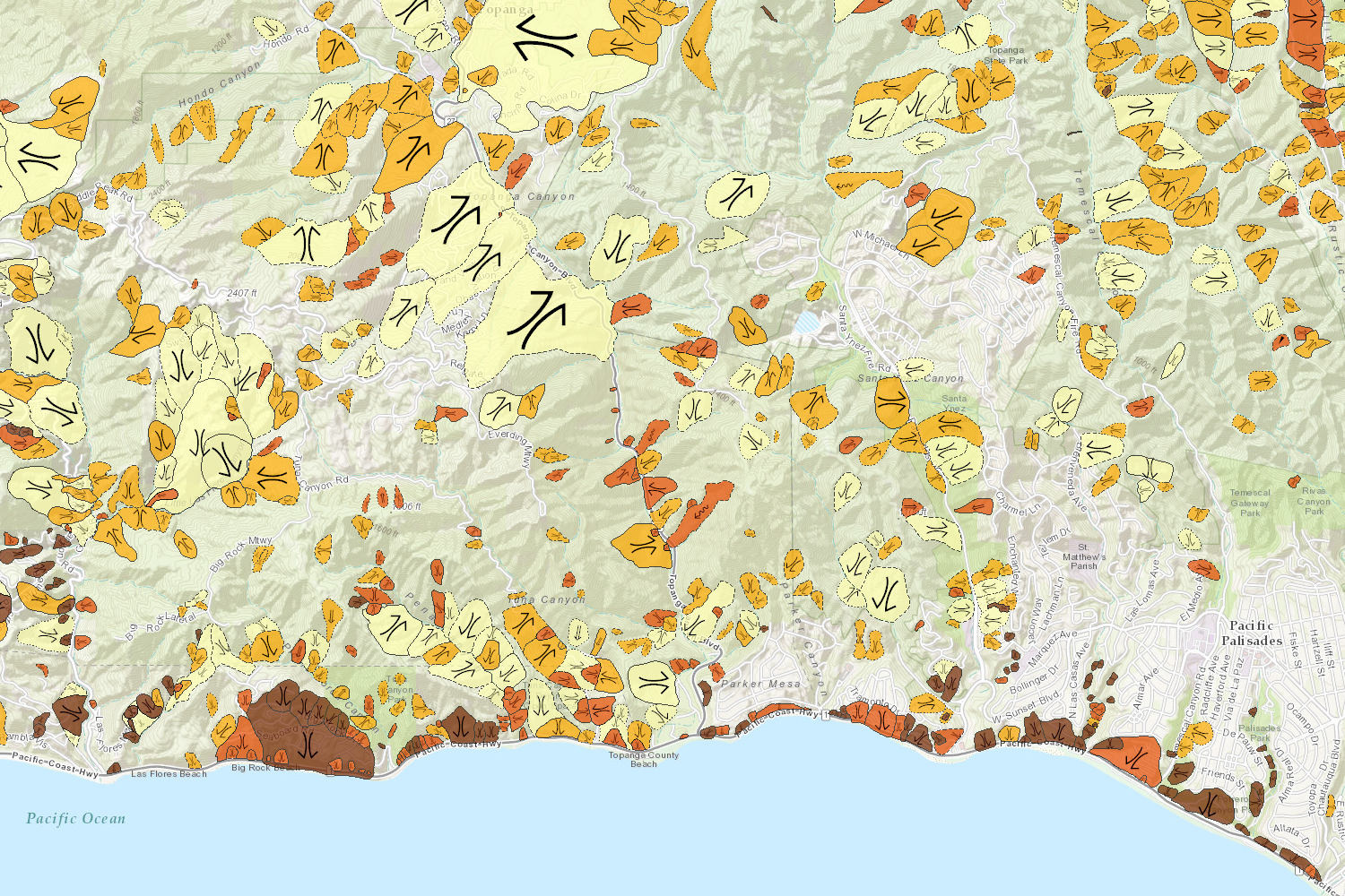
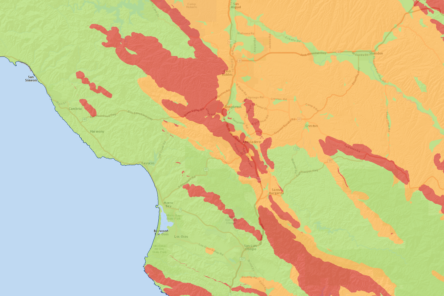
- Regulatory Zones: Alquist-Priolo and Seismic Hazard zones require that additional study be conducted prior to certain types of construction in areas with established risk for fault surface rupture and earthquake induced landslides or liquefaction.
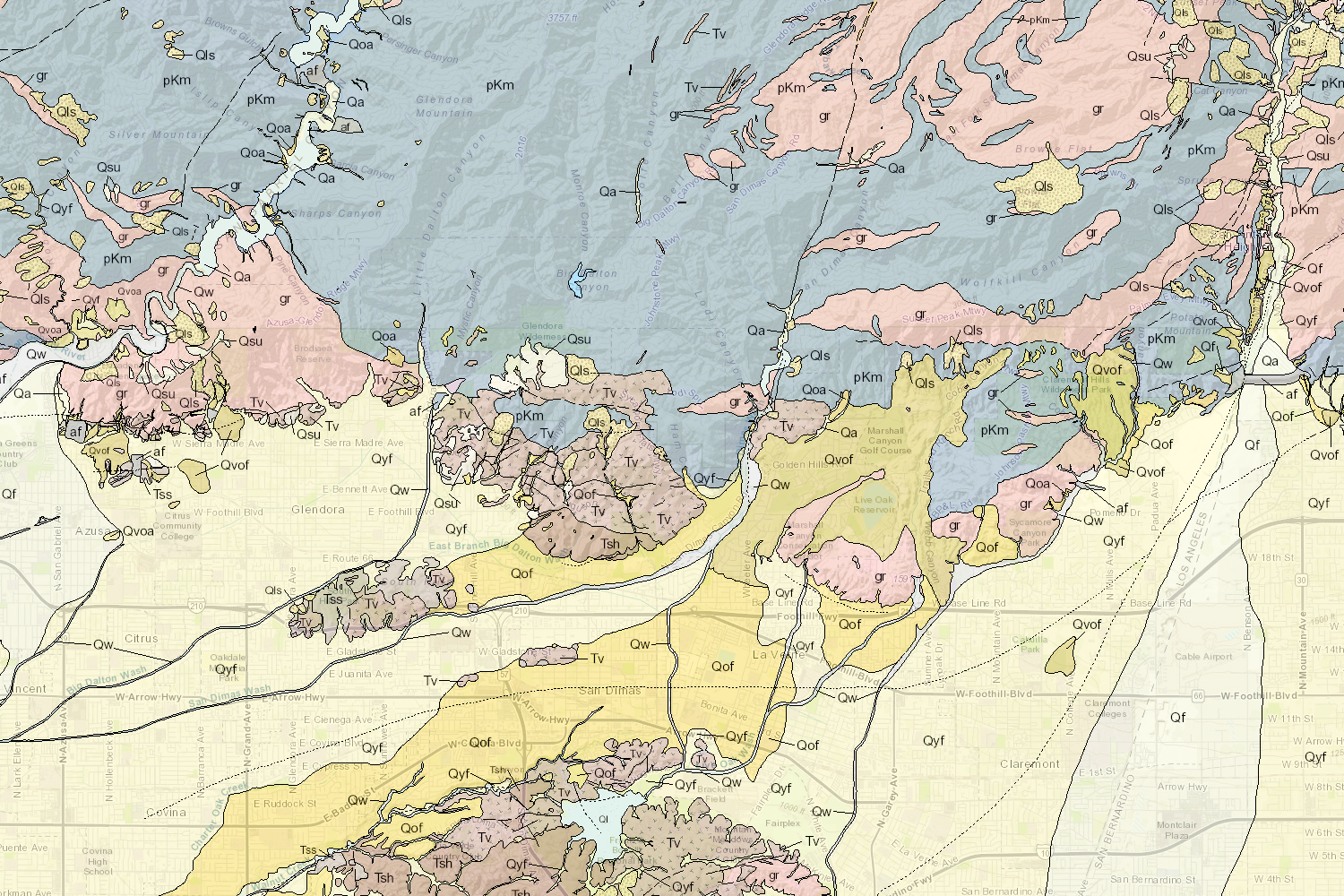
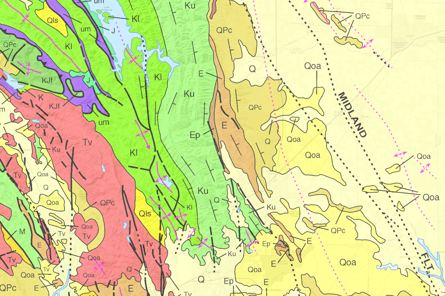
- Geologic Maps: Geologic maps are the starting point for evaluation of geologic hazards and resources by many of CGS and others’s other products. They describe the underlying geology, allowing users to derive insight into the geologic and geomorphic nature of the mapped area.
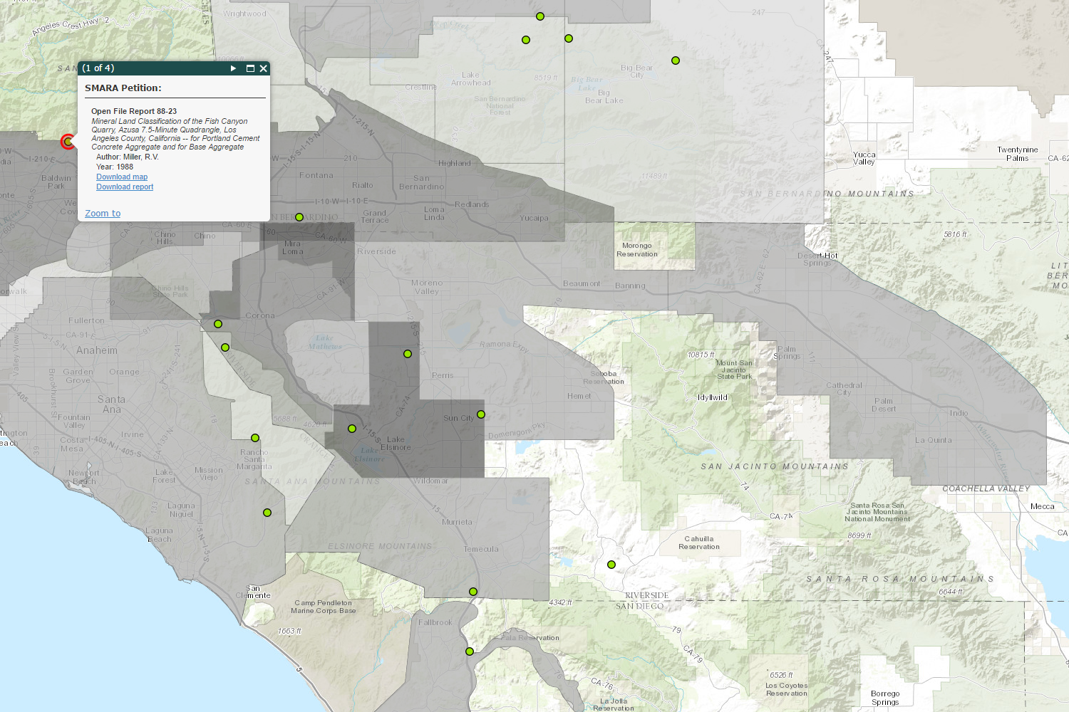
- Mineral Resource Mapping: CGS produces maps identifying mineral resource zones with potential for the production of geologic resources such as metals, minerals, and construction aggregate important to the state’s economy.
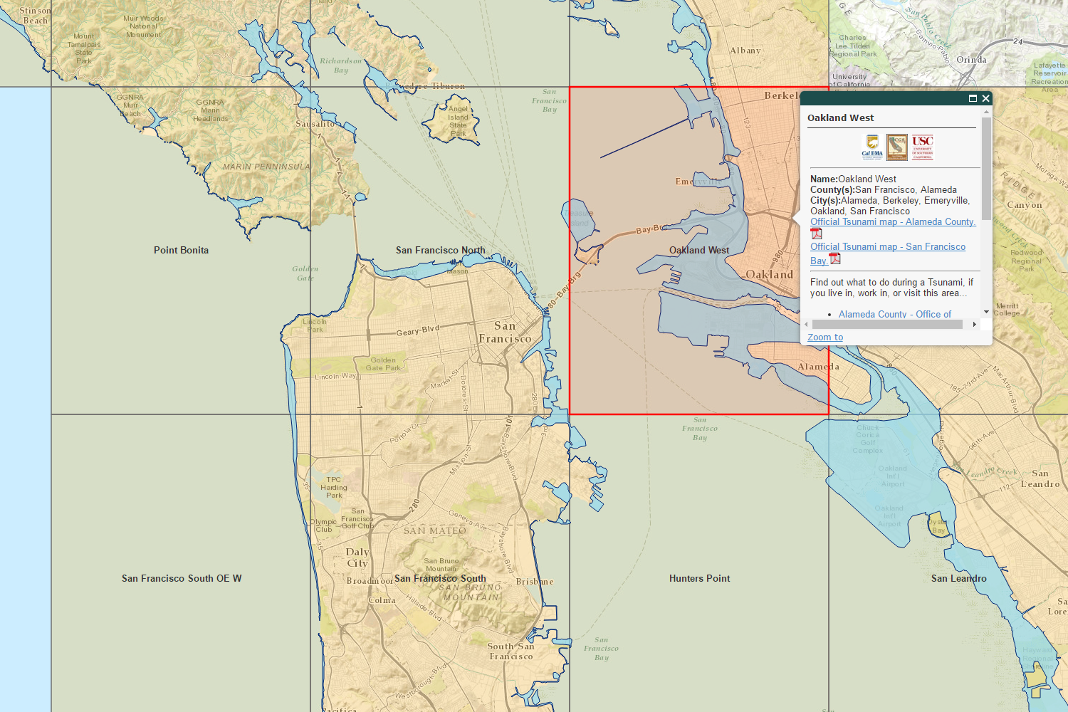
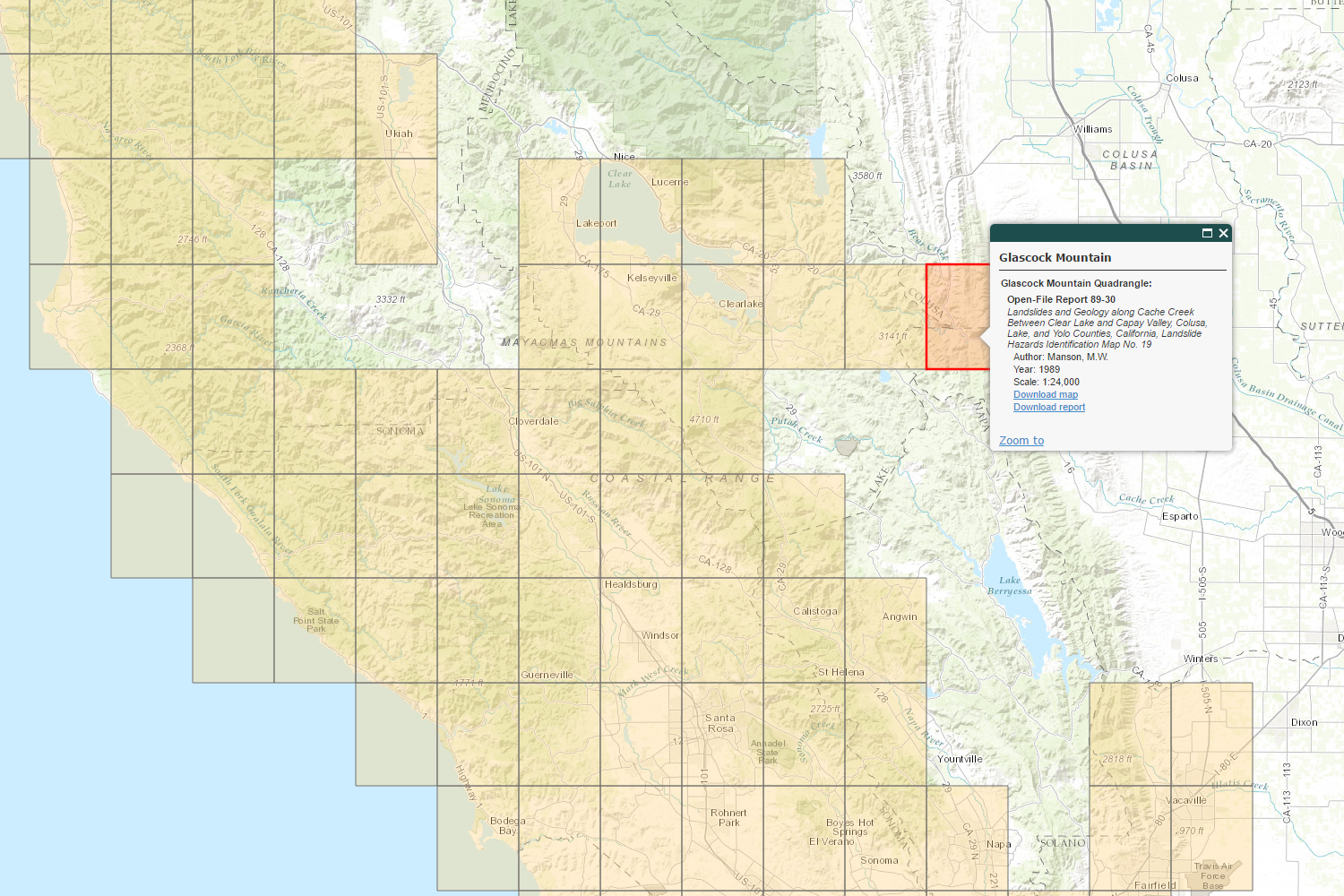
- Geologic Hazards: The California Geologic Survey identifies locations subject to geologic or topographic hazards such as earthquake shaking hazards, related economic losses, landslides, tsunamis, and hazardous minerals (asbestos, mercury, and radon).
Quick Access
- Interactive Web Maps: Subject specific web maps
- Data Viewer: Pick the data to explore
- California Geological Survey Data & Maps: Find Data
- Publications of the California Geological Survey: Search for CGS publications
Interactive Web Maps
Scroll through the available web maps at the bottom. Click on the large picture (or the Open Map link) to open the web map in a new tab.-
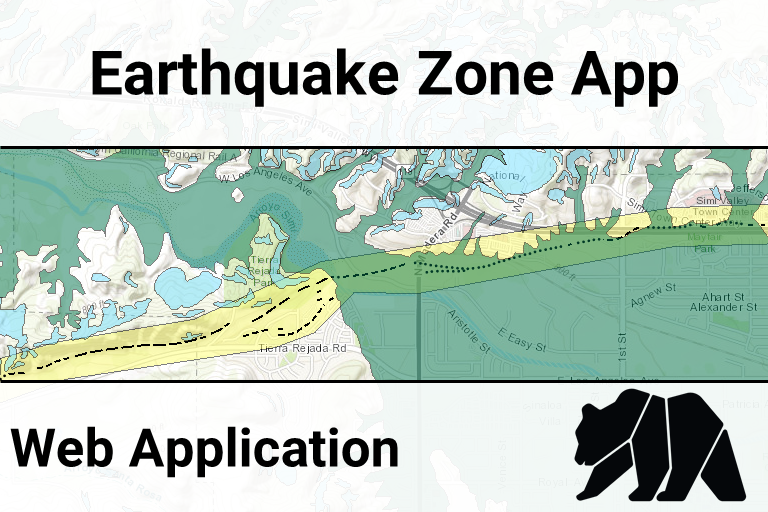
Earthquake Zone App (open map)
-
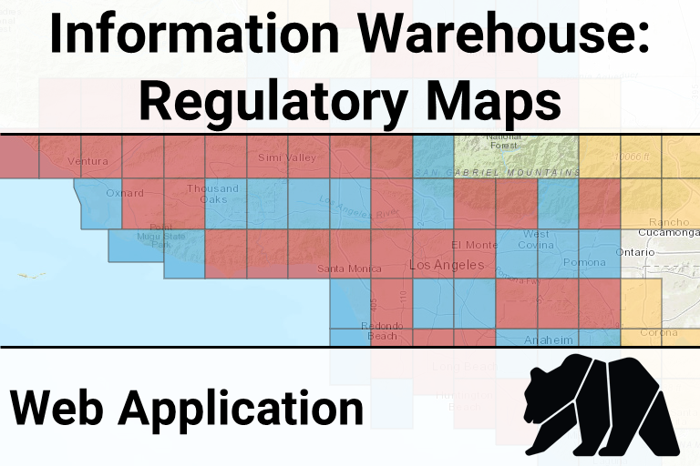
CGS Information Warehouse: Regulatory Maps (open map)
-
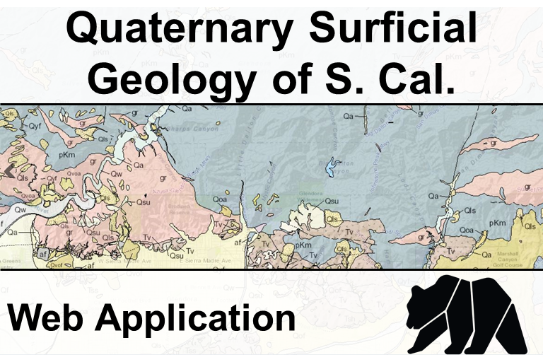
Quaternary Surficial Geology of Southern California(open map)
-
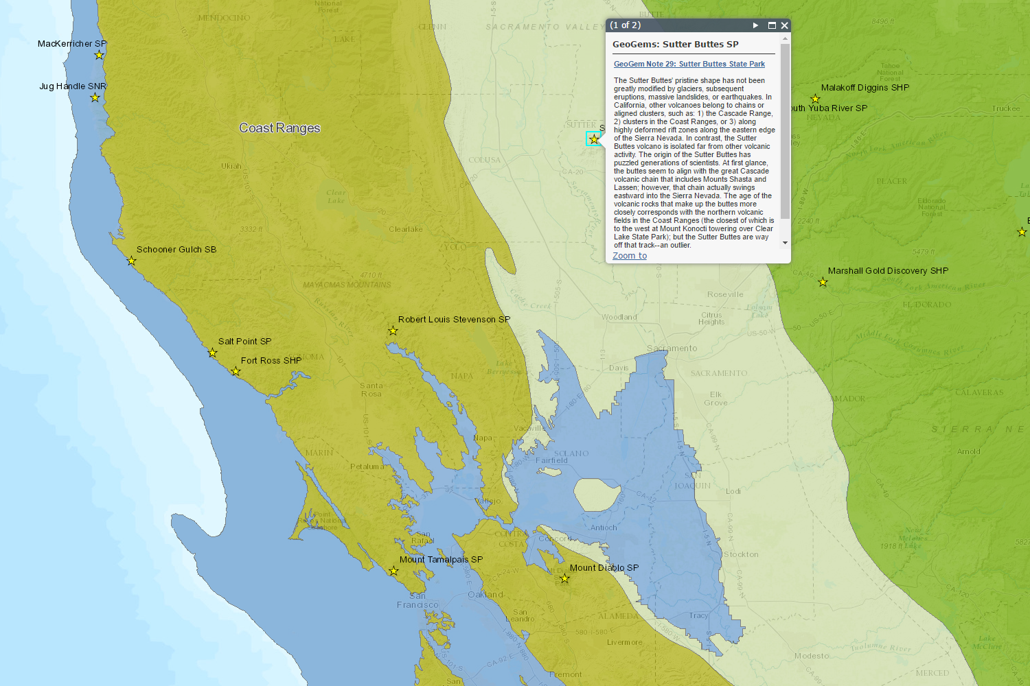
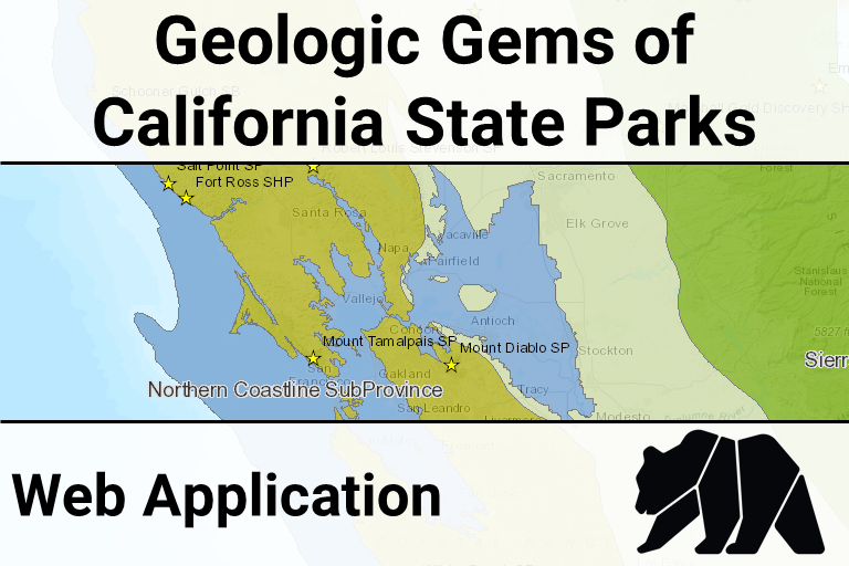
Geologic Gems of the California State Parks(open map)
-
CGS Information Warehouse: Mineral Land Classification (open map)
-
CGS Information Warehouse: Tsunami Hazard Areas (open map)
-
CGS Information Warehouse: Landslide Maps and Reports (open map)
-
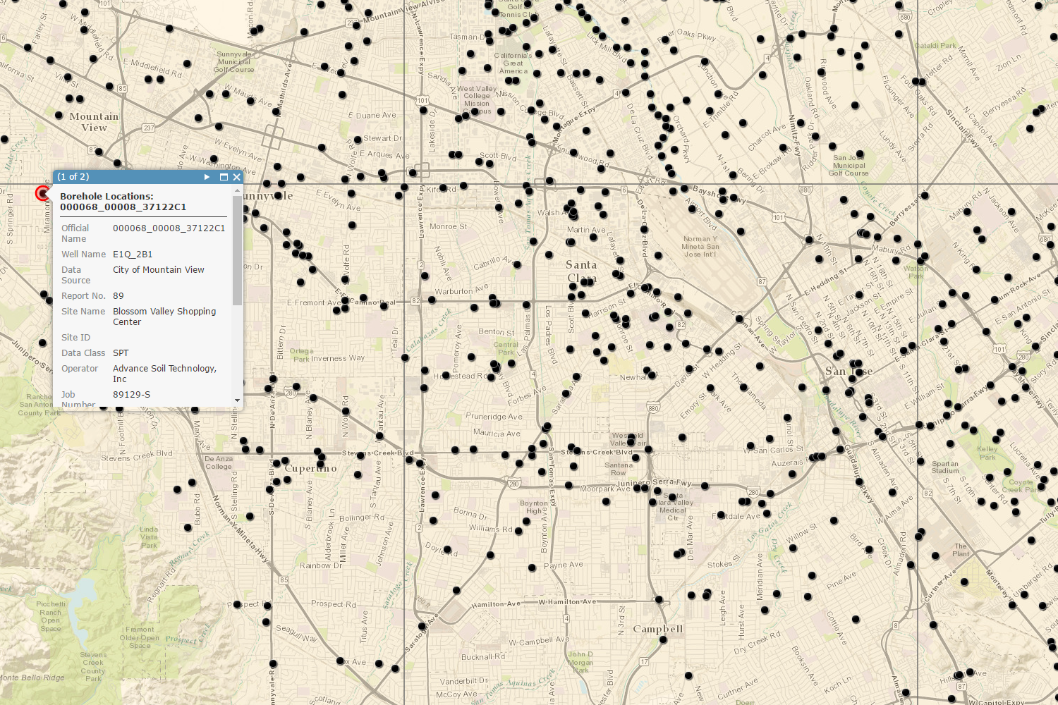
CGS Information Warehouse: Borehole Database (open map)
-
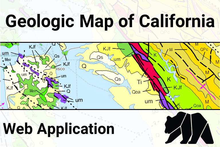
Geologic Map of California (open map)
-
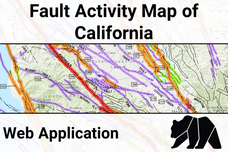
Fault Activity Map (open map)
-
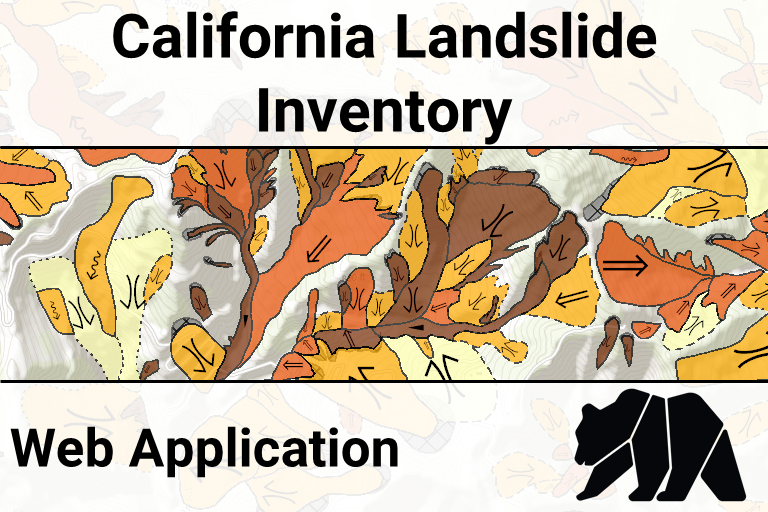
Landslide Inventory Database (open map)
-
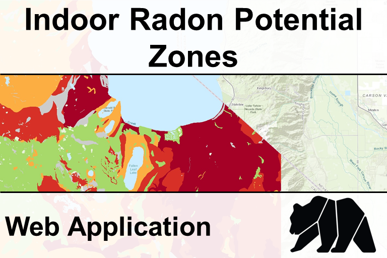
Indoor Radon Potential (open map)
Data Viewer
Open full screen in a new tabCalifornia Geological Survey Data
Notes:- [AGOL] indicates that the Department of Conservation's official ArcGIS Online account hosts the data using cloud-based services.