
DOC Maps
Geospatial Data and Web Maps from the California Department of Conservation.
The Department of Conservation provides services and information that promote environmental health, economic vitality, informed land-use decisions, and sound management of our state’s natural resources. As home to the California Geological Survey, the Geologic Energy Management Division, Division of Land Resource Protection, and Division of Mine Reclamation, spatial data informs virtually every aspect of the Department’s activities.
The California Department of Conservation (DOC) is a prolific producer of spatial data and manages much of the data using Geographic Information Systems (GIS).
GIS and Greenhouse Gas Calculation Tools
TerraCount
A GIS-based scenario planning tool for cities, counties, and regions wanting to model the greenhouse gas and natural resource implications of development patterns and management practices on working landscapes. TerraCount includes calculations of co-benefits to agriculture, water quality, biodiversity, and human wellbeing. Merced County served as the pilot project conducted in close collaboration between the Department of Conservation, The Nature Conservancy, and the County of Merced. Learn More About TerraCountCREEC
Carbon in Riparian Ecosystems Estimator for California (CREEC) A California specific carbon estimation tool for riparian conservation and restoration. The tool is based on the largest and most comprehensive data set on riparian carbon available for the State of California. Learn More About CREECSubject Areas
Quick Access
- Popular Resources: Frequently used datasets and interactive maps
- Subject Areas: Curated data collections
- Interactive Web Maps: Subject specific web maps
- Data Viewer: Pick the data to explore
- Divisions in the Department of Conservation
- Searchable Data List: Find Data
- Data Disclaimer: General Disclaimer
Popular Resources
| Name | Description | Link |
|---|---|---|
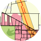
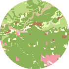
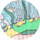
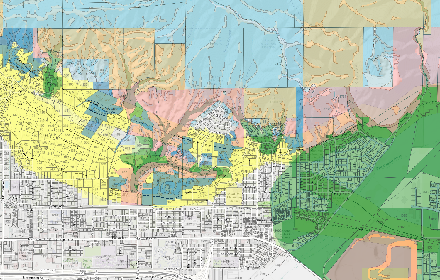
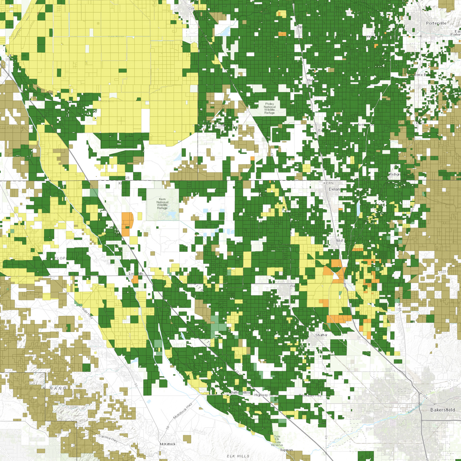
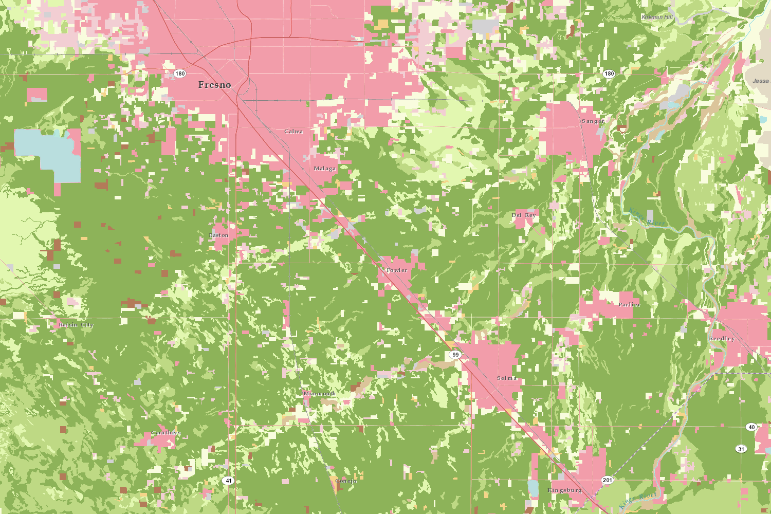
| Important Farmland (aka FMMP) | See how California's agricultural landscape has changed over time in the Important Farmland dataset. | Interactive Map Download Map Services |
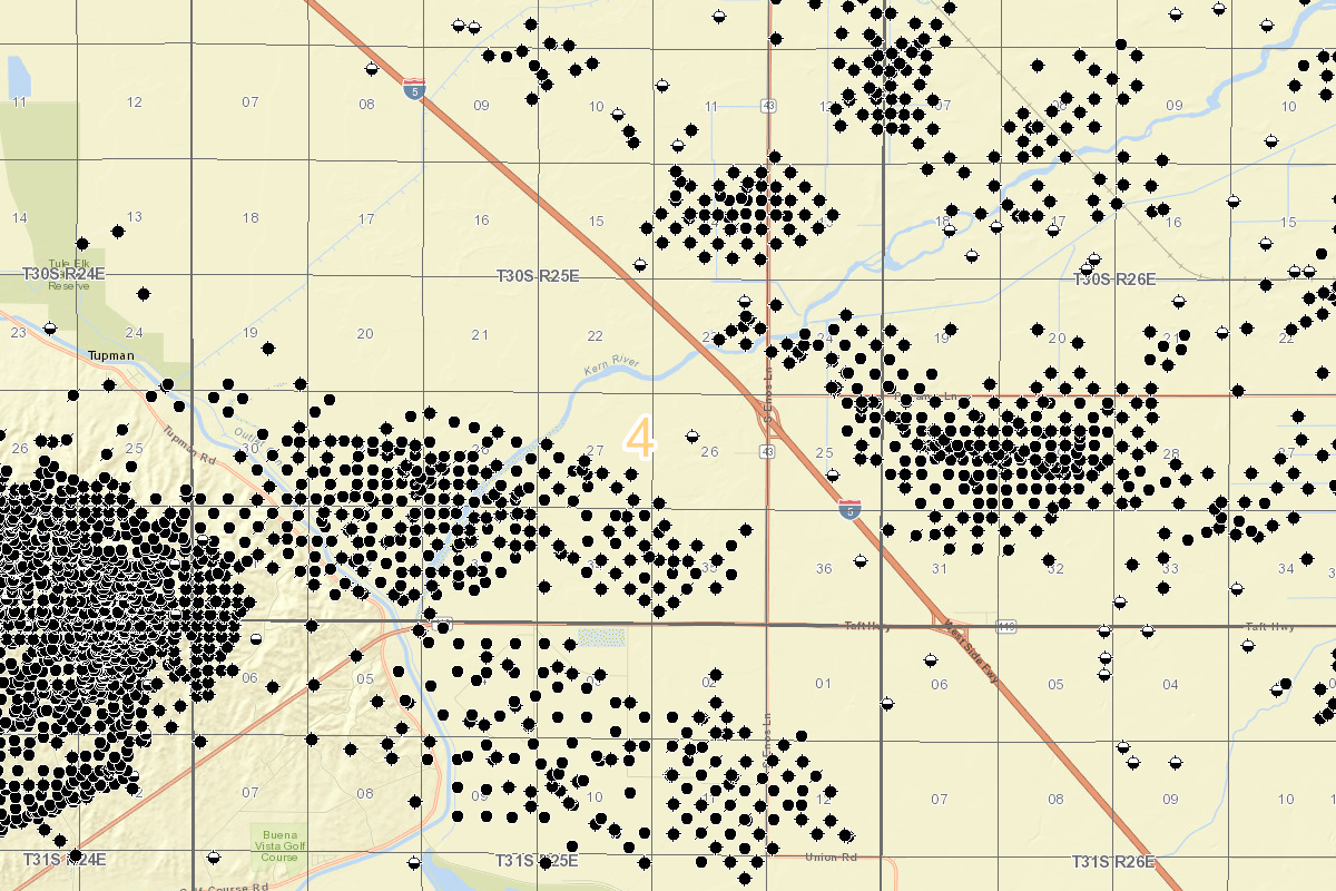
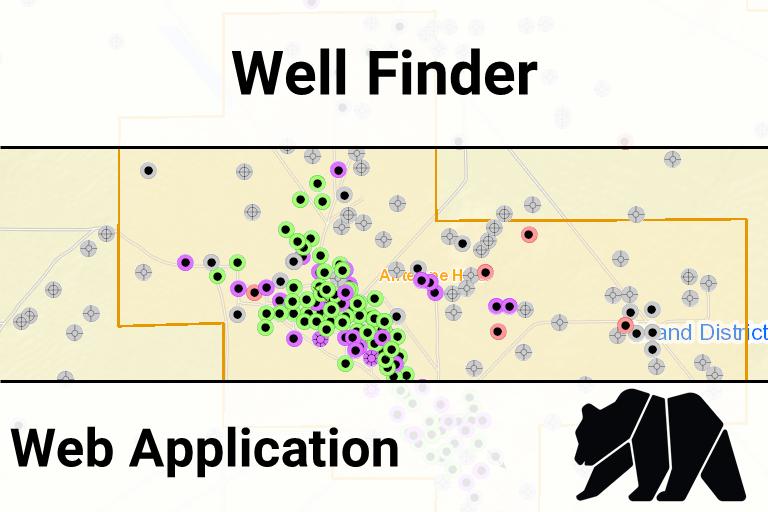
| CalGEM Well Finder | Look up oil & gas well status and related data in an easy to use web map. | Well Finder (Interactive Map) |
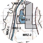
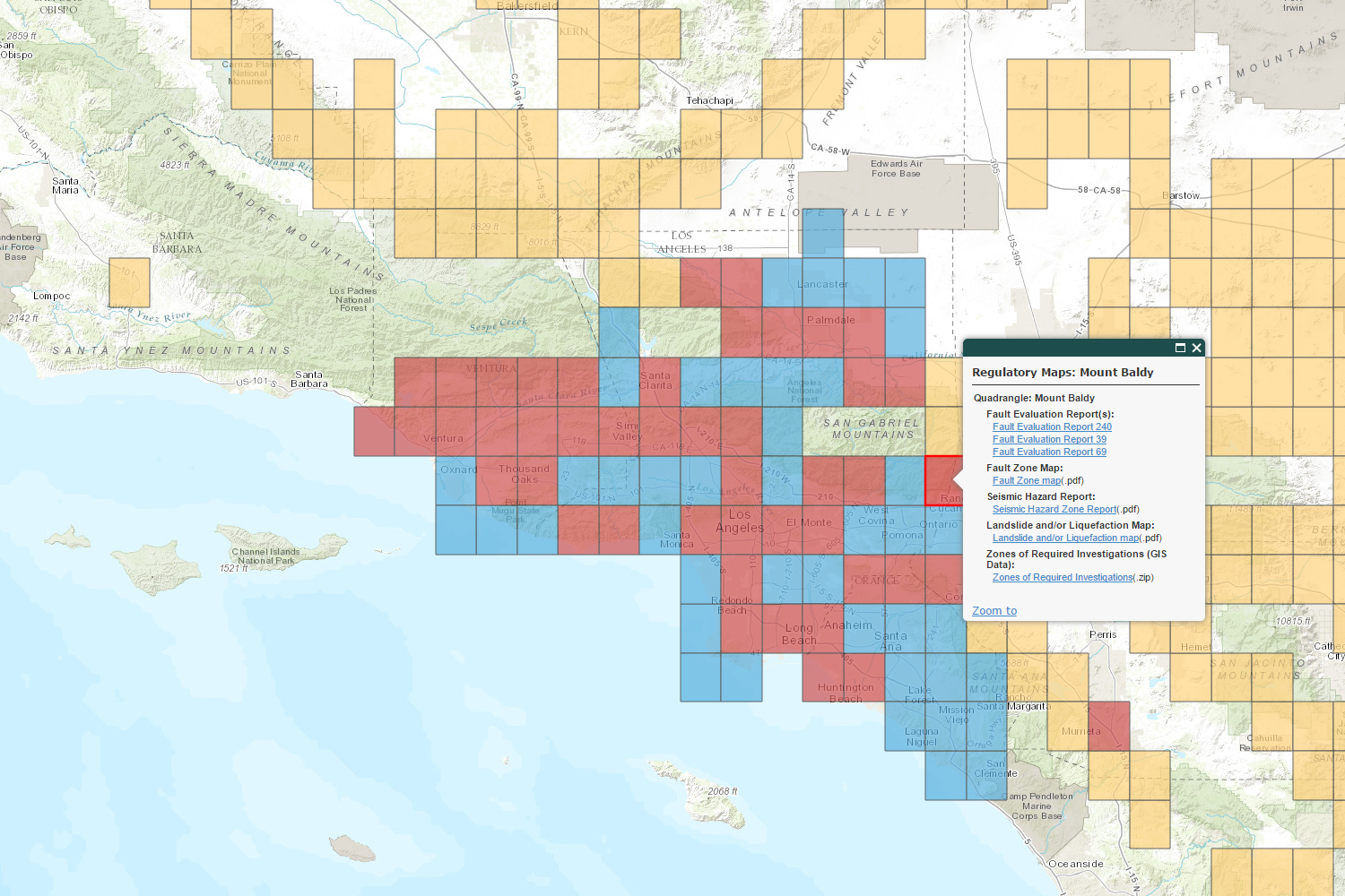
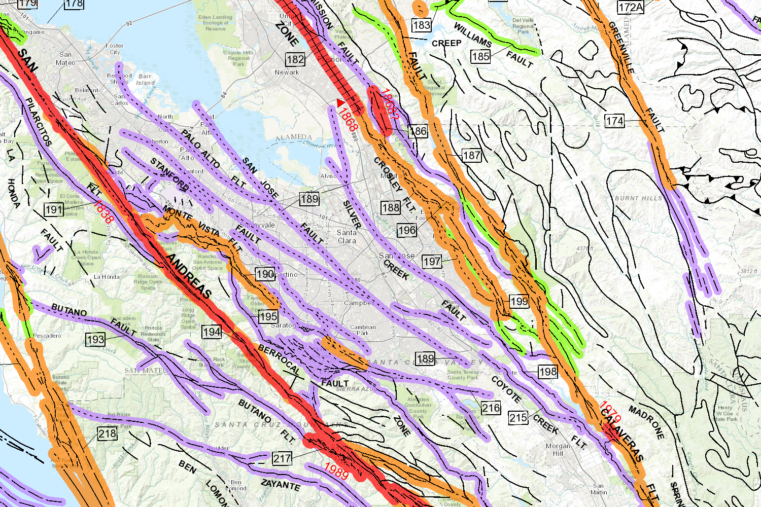
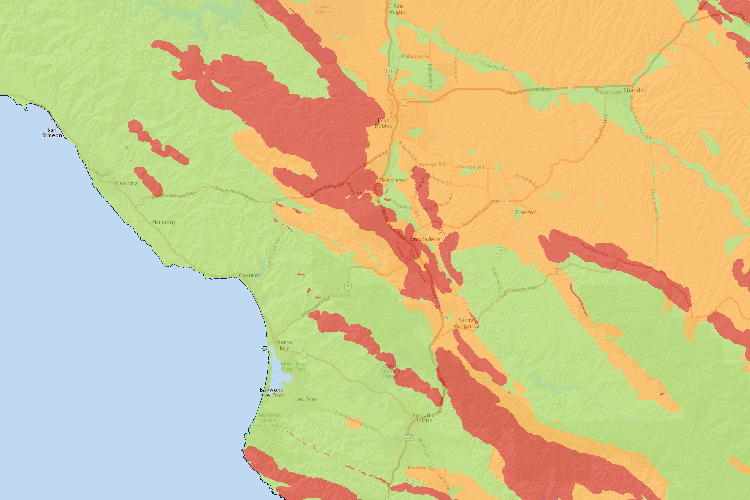
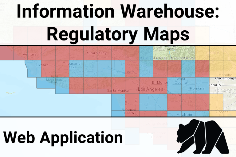
| CGS Regulatory Maps | Find seismic and surface fault rupture hazard zoning maps for California | Regulatory Maps (Interactive Map) |
Interactive Web Maps
Scroll through the available web maps at the bottom. Click on the large picture (or the Open Map link) to open the web map in a new tab.-
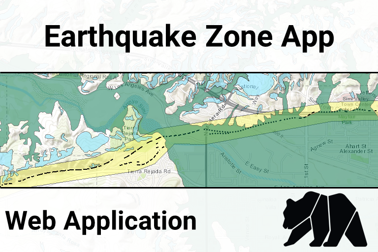
Earthquake Zone App (open map)
-
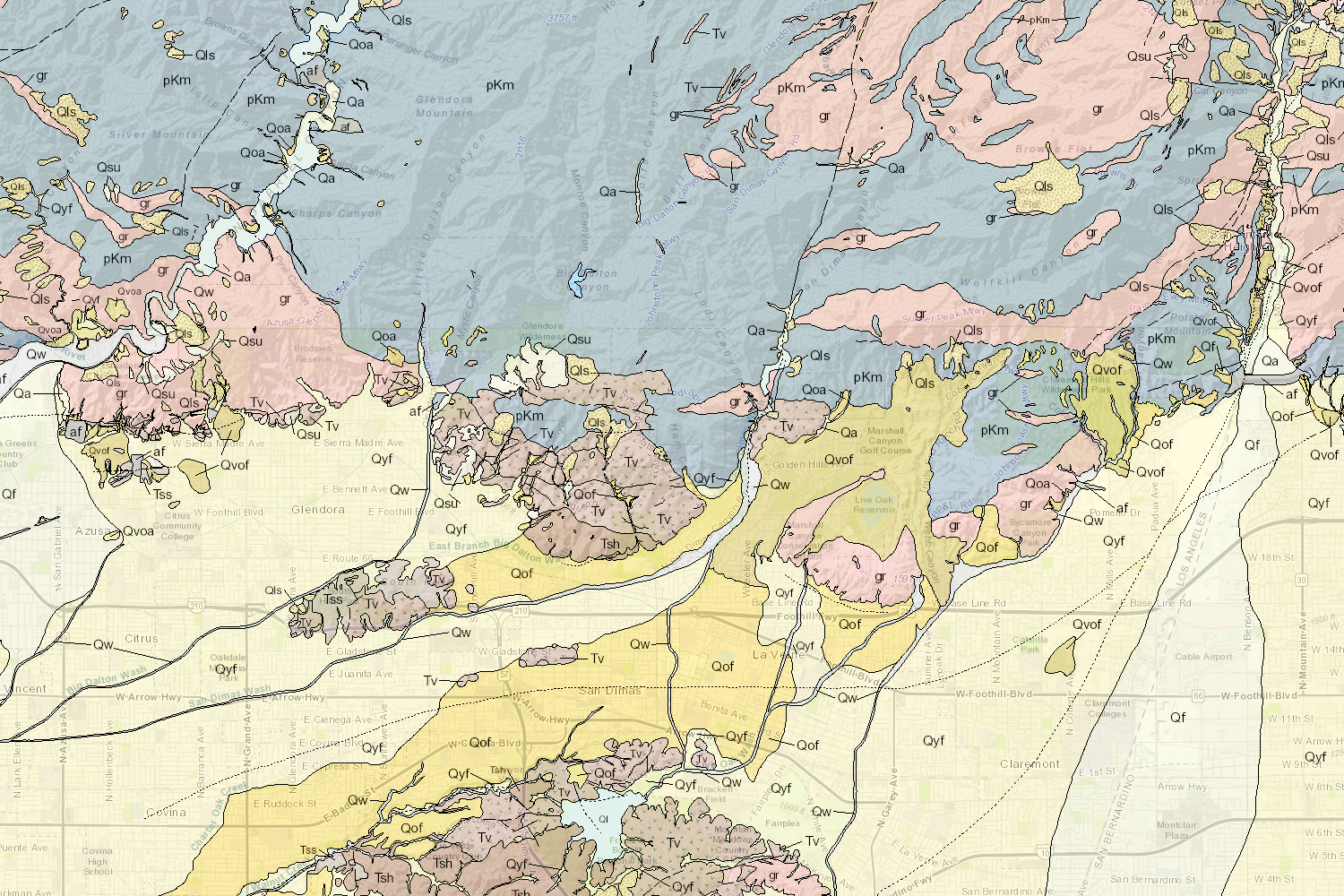
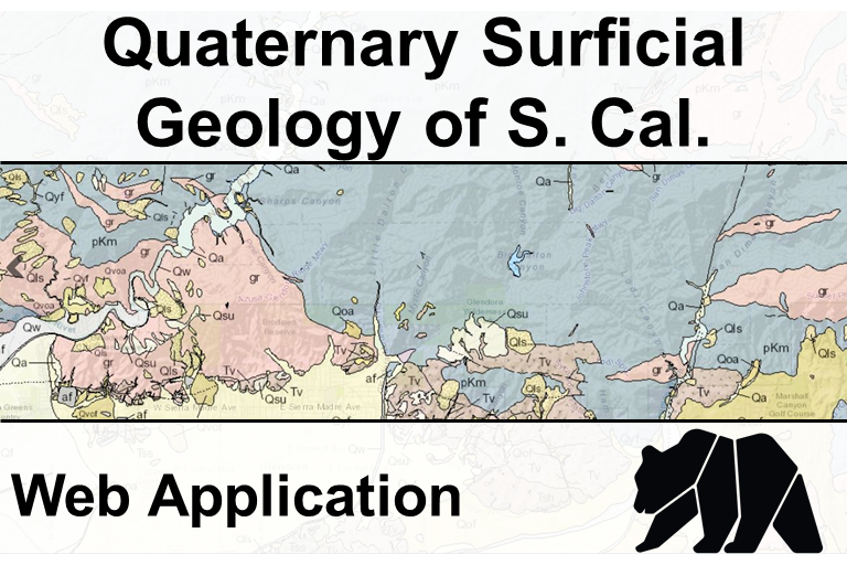
Quaternary Surficial Geology of Southern California(open map)
-
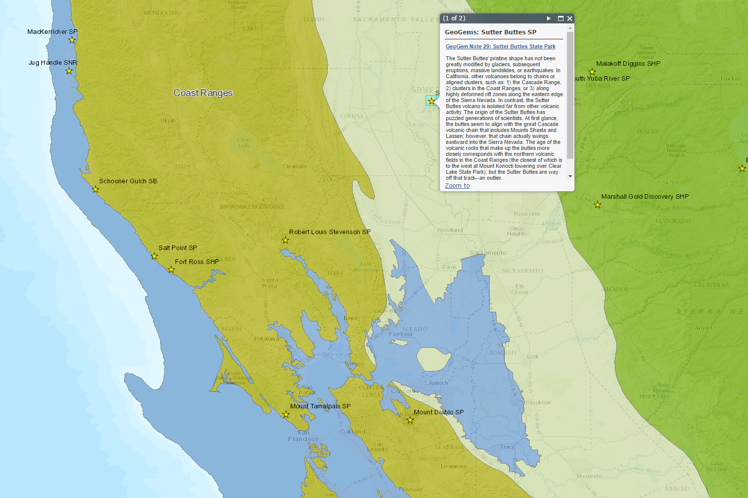
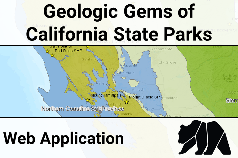
Geologic Gems of the California State Parks(open map)
-
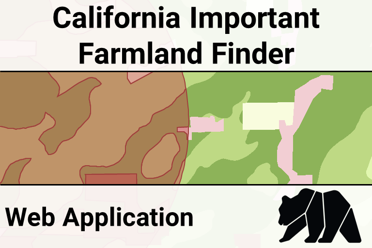
California Important Farmland Finder (open map)
-
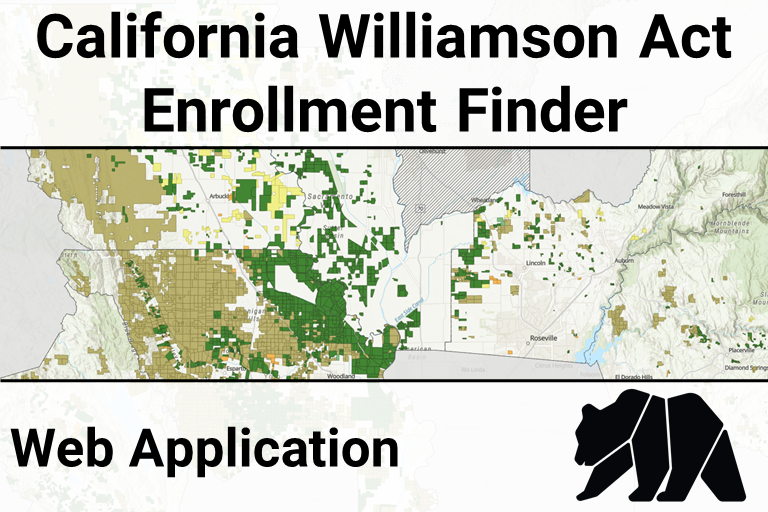
California Williamson Act Enrollment Finder (open map)
-
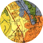
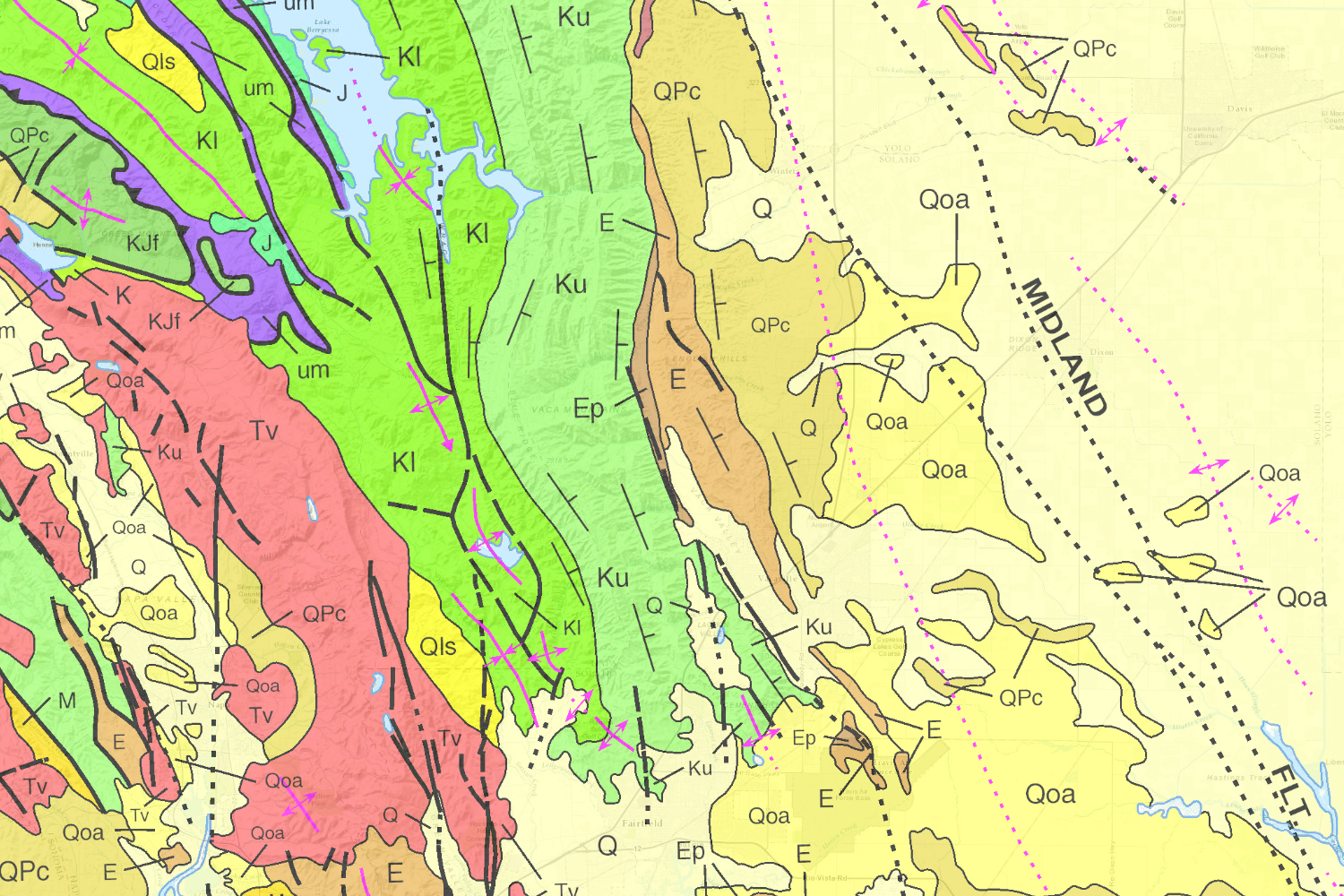
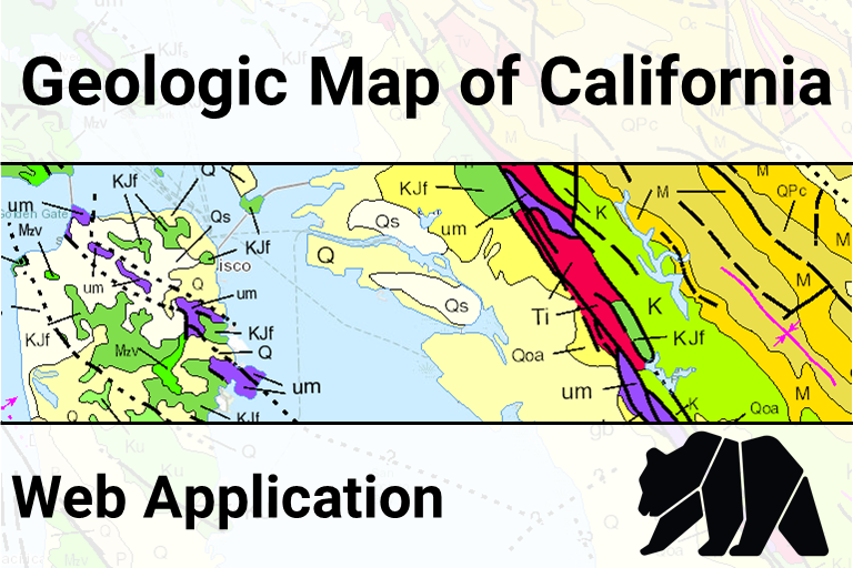
Geologic Map of California (open map)
-
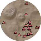
Oil & Gas Well Finder (open map)
-
CGS Information Warehouse Regulatory Maps (open map)
-
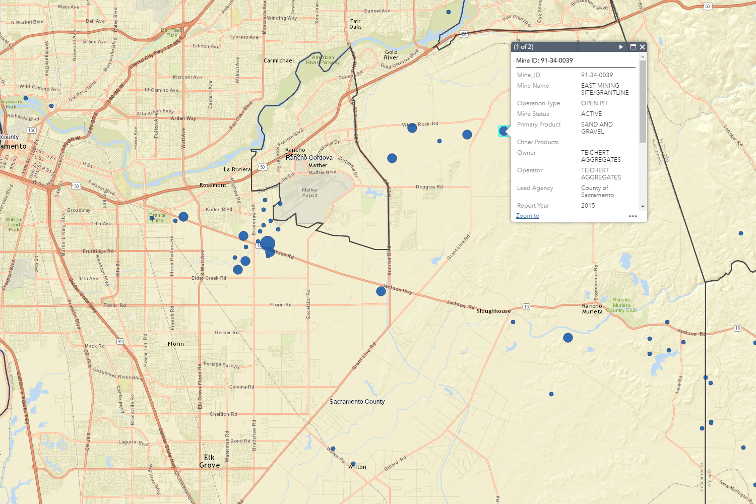
Mines Online (open map)
-
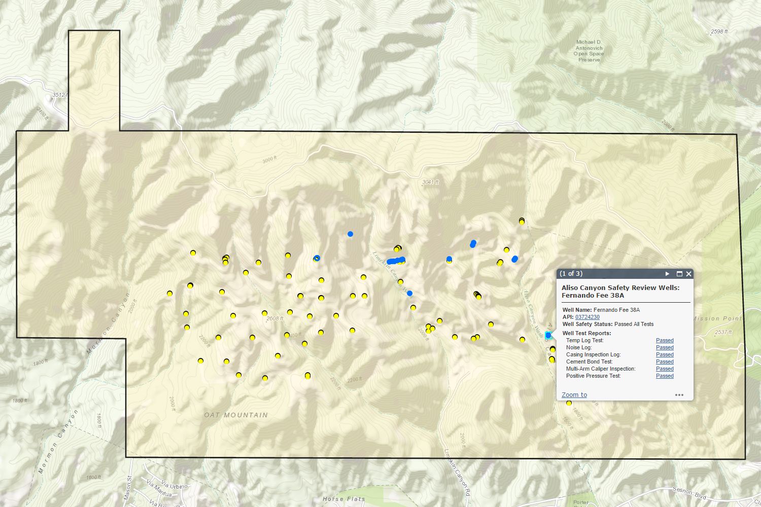
Aliso Canyon Safety Review (open map)
-
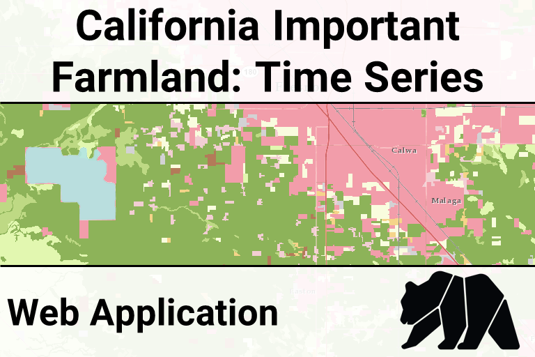
Important Farmland Time Series (open map)
-
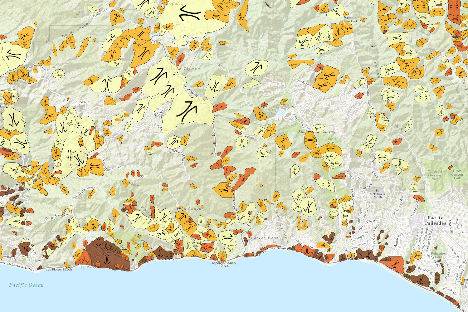
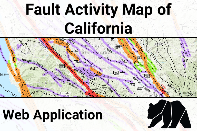
Fault Activity Map (open map)
-
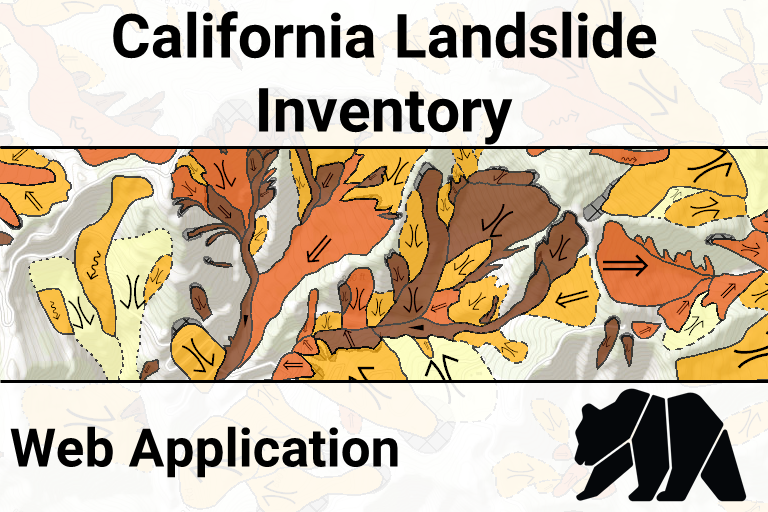
Landslide Inventory Database (open map)
-
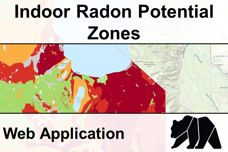
Indoor Radon Potential (open map)
Data Viewer
Open full screen in a new tabDivisions of the Department of Conservation
California Geological Survey
The California Geological Survey provides scientific products and services about the states's geology, seismology, and mineral resources.Division of Land Resource Protection
The Division of Land Resource Protection works with landowners, local governments, and researchers to conserve the state's farmland and open spaces.Geologic Energy Management Division
The Geologic Energy Management Division, formerly the Division of Oil, Gas, and Geothermal Resources (DOGGR), oversees the drilling, operation, maintenance, and plugging and abandonment of oil, natural gas, and geothermal wells in California.Division of Mine Reclamation
The Division of Mine Reclamation (DMR) provides oversight to lead agencies on a mining operation's reclamation plan and financial assurance. DMR's Abandoned Mine Lands program addresses the state's abandoned legacy mines.Searchable Data List
Notes:- [AGOL] indicates that the Department of Conservation's official ArcGIS Online account hosts the data using cloud-based services.
Data Disclaimer
The State of California and the Department of Conservation make no representations or warranties regarding the accuracy of these data or maps. Neither the State nor the Department shall be liable under any circumstances for direct, indirect, special, incidental or consequential damages with respect to any claim by any user or any third party on account of or arising from the use of these data or maps.
Some data or collections of data may have more specific disclaimers.