
DOC Maps: Geologic Hazards
The California Geological Survey, a division within the California Department of Conservation, provides data and analysis of California's seismic and geologic hazards. These hazards include earth shaking (strong motion), fault ruptures, landslides, liquefaction, and tsunamis as well as mineral hazards such as radon, mercury, and asbestos.
Quick Access
- Interactive Web Maps: Subject specific web maps.
- Geologic Hazard Related Data & Maps: Find data
Interactive Web Maps
Scroll through the available web maps at the bottom. Click on the large picture (or the Open Map link) to open the web map in a new tab.-
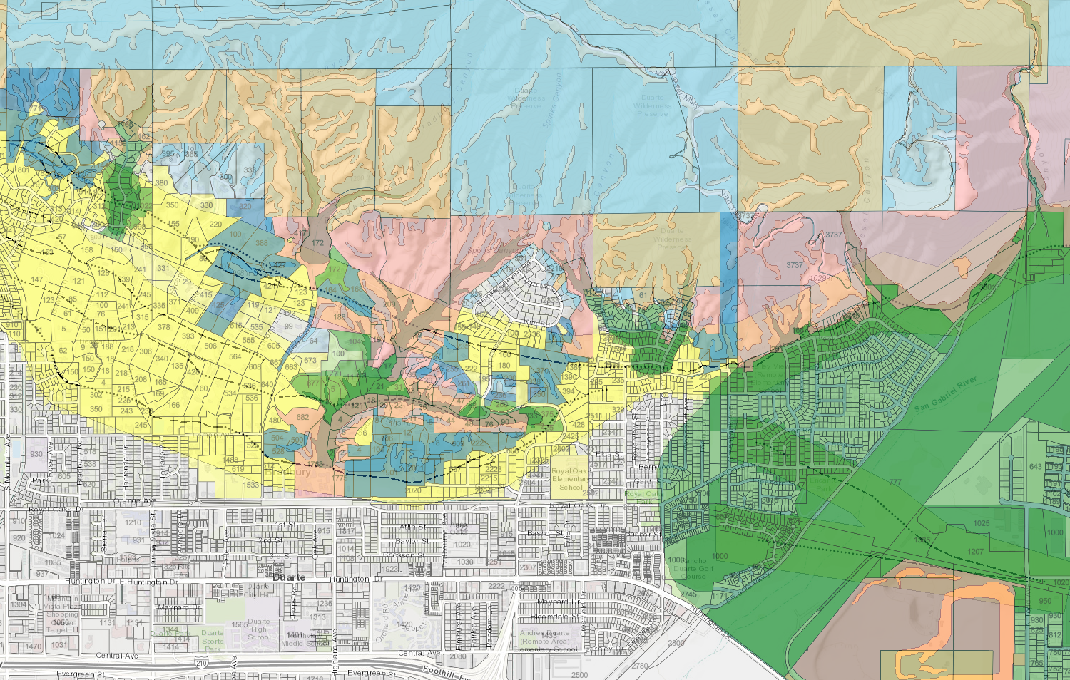
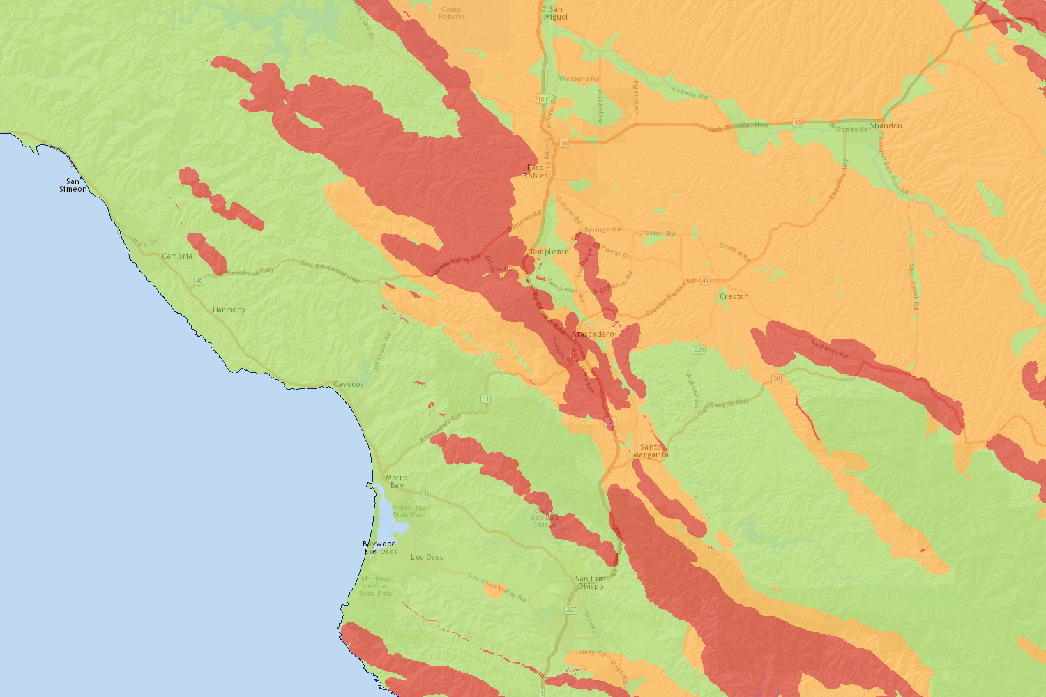
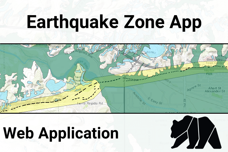
Earthquake Zone App (open map)
-
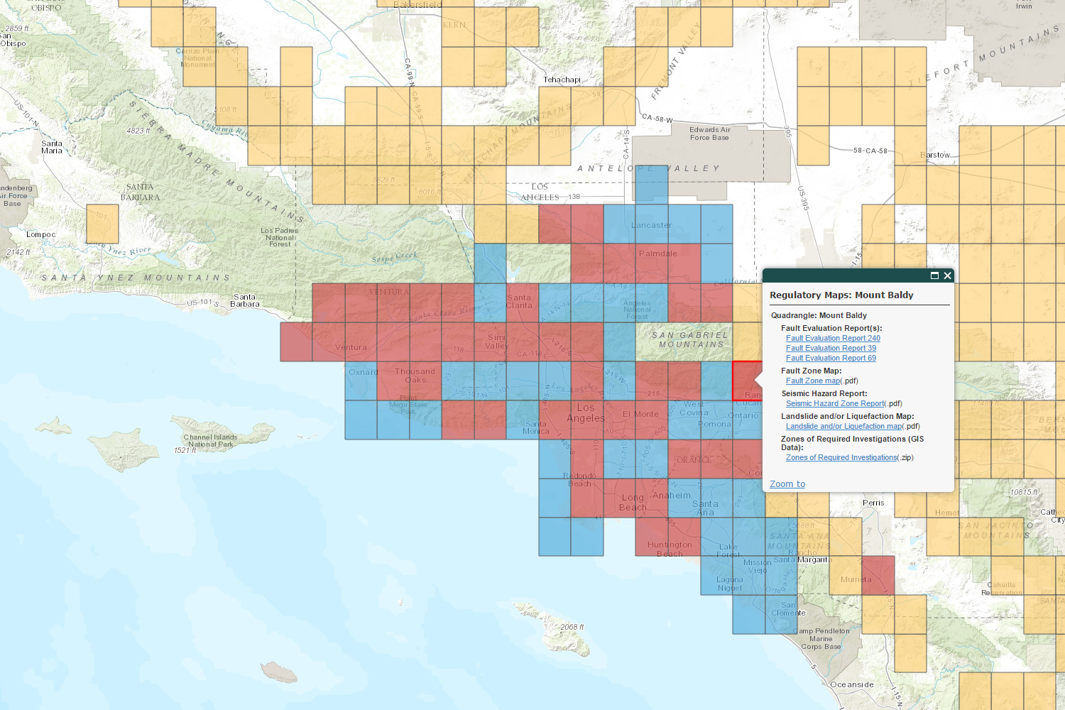
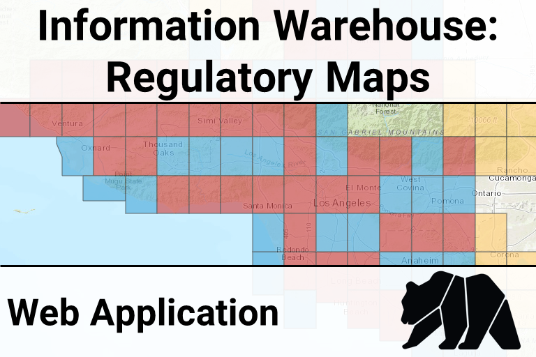
CGS Information Warehouse: Regulatory Maps (open map)
-
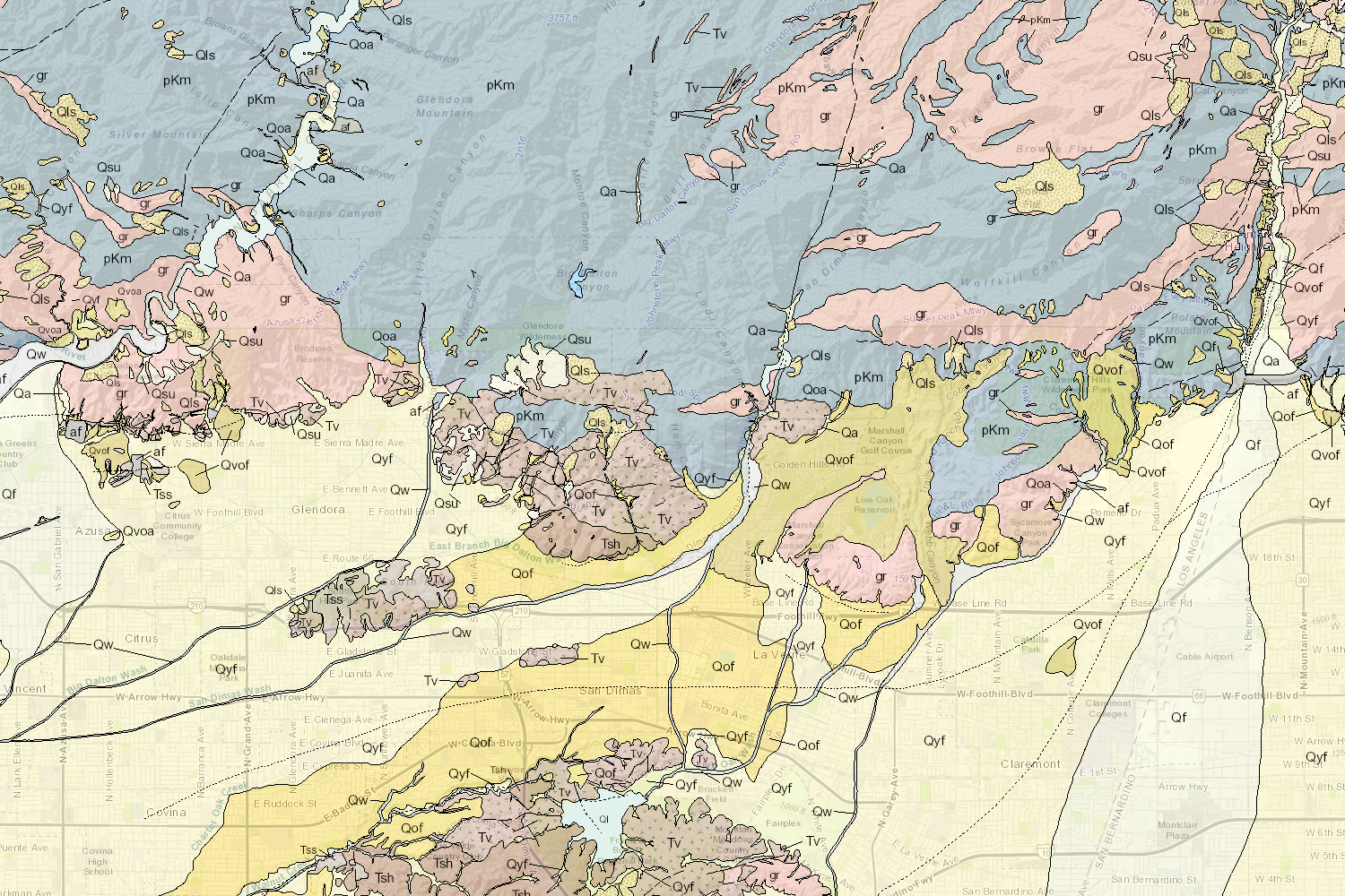
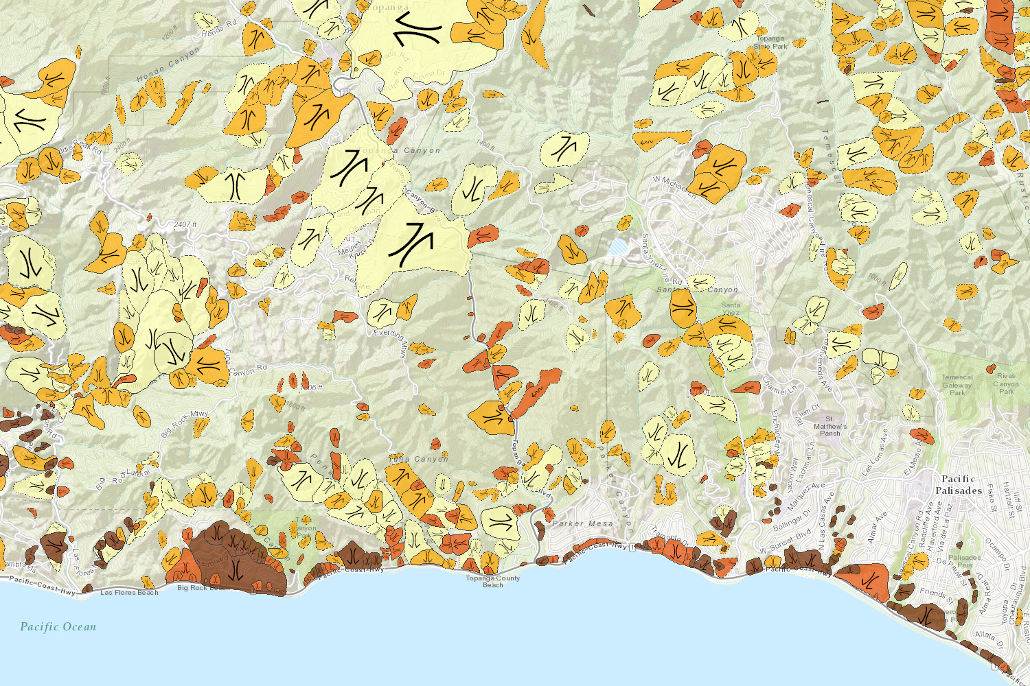
Quaternary Surficial Geology of Southern California(open map)
-
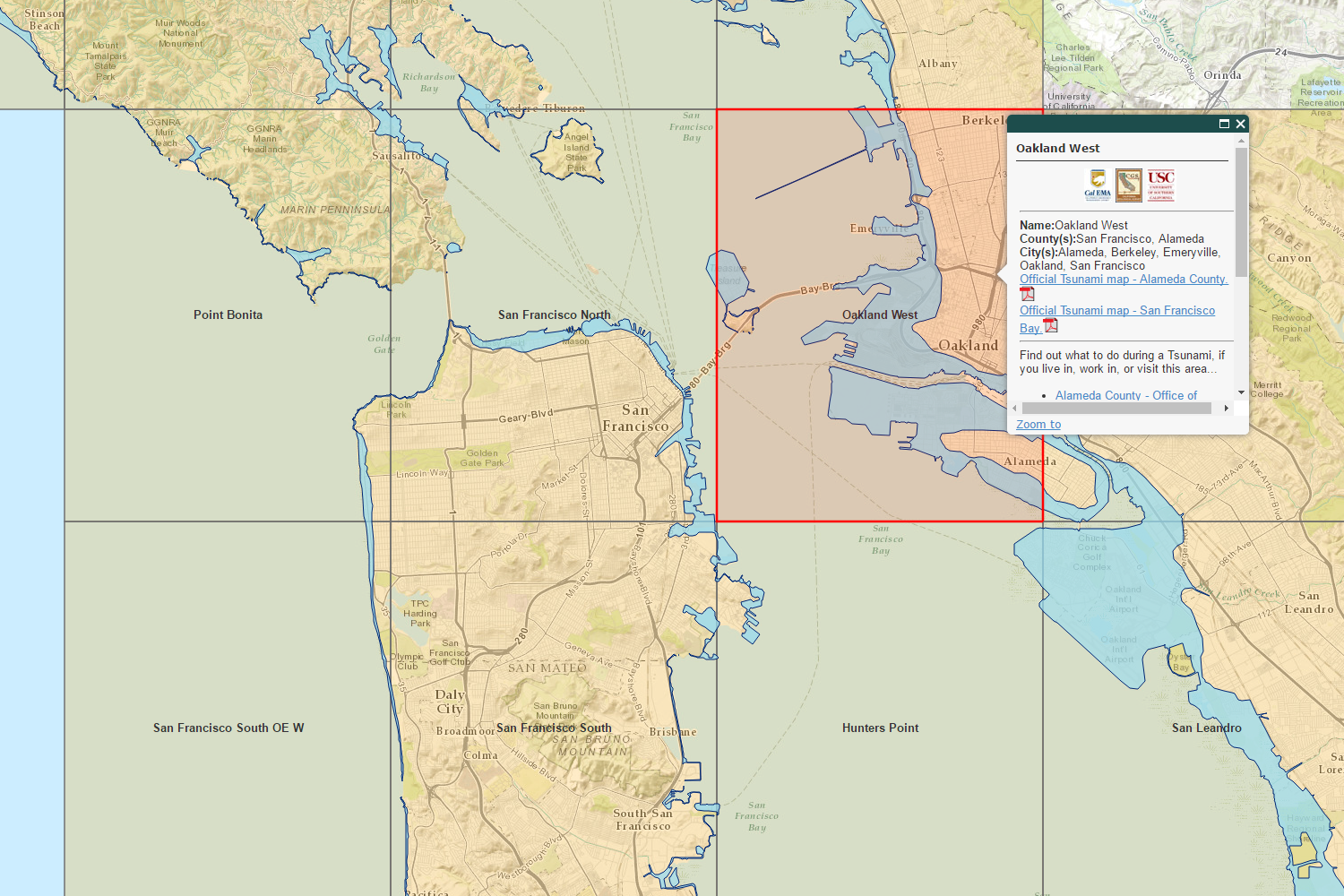
CGS Information Warehouse: Tsunami Hazard Areas (open map)
-
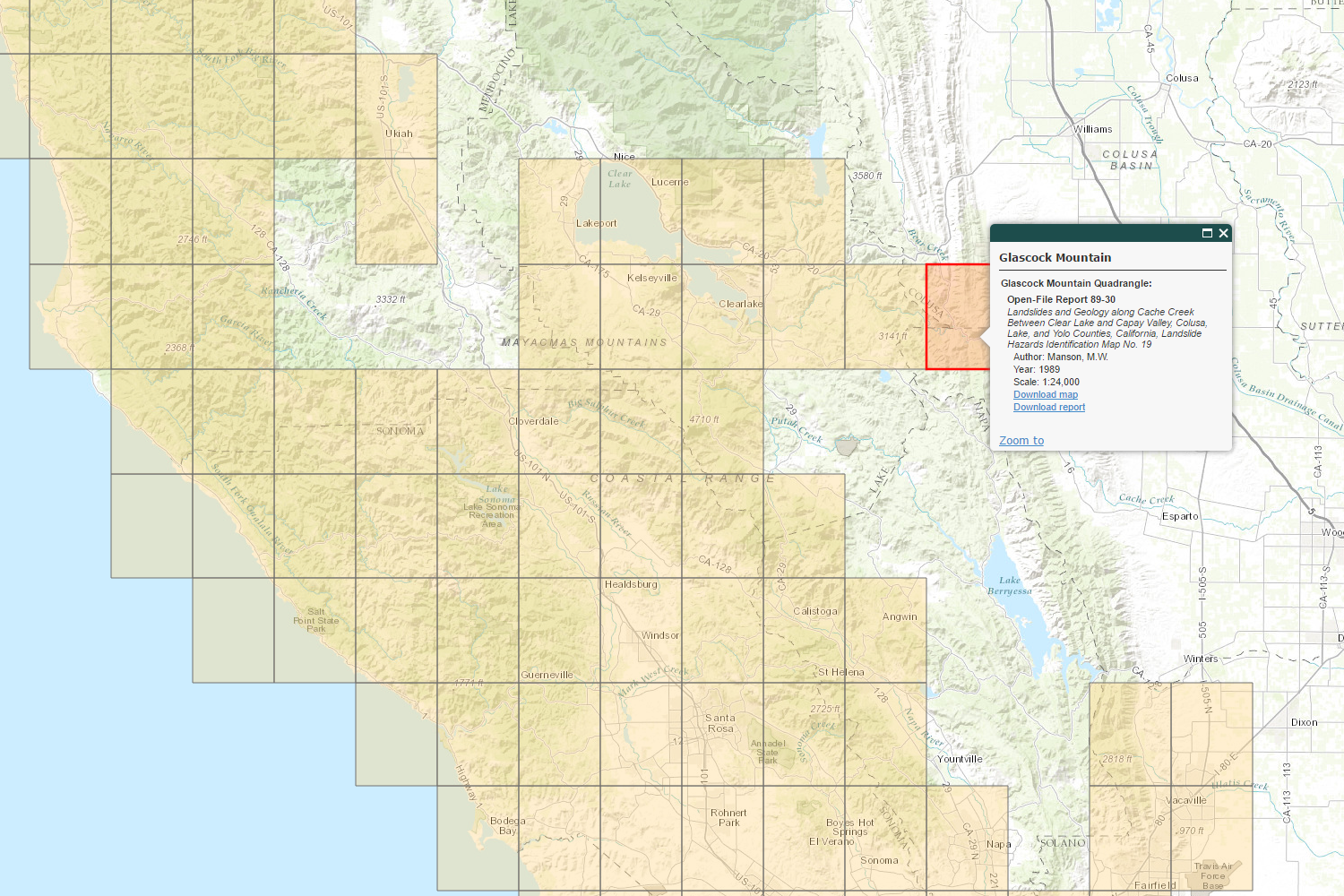
CGS Information Warehouse: Landslide Maps and Reports (open map)
-
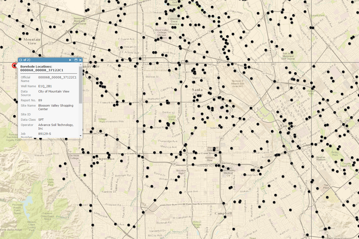
CGS Information Warehouse: Borehole Database (open map)
-
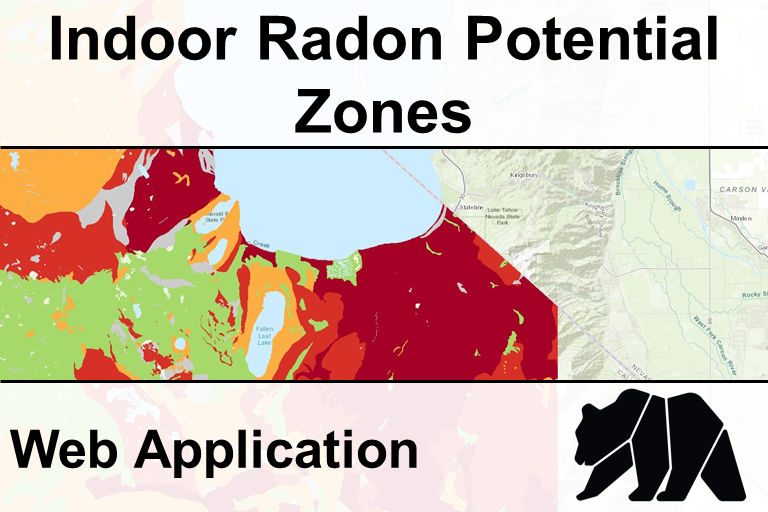
Indoor Radon Potential (open map)
-
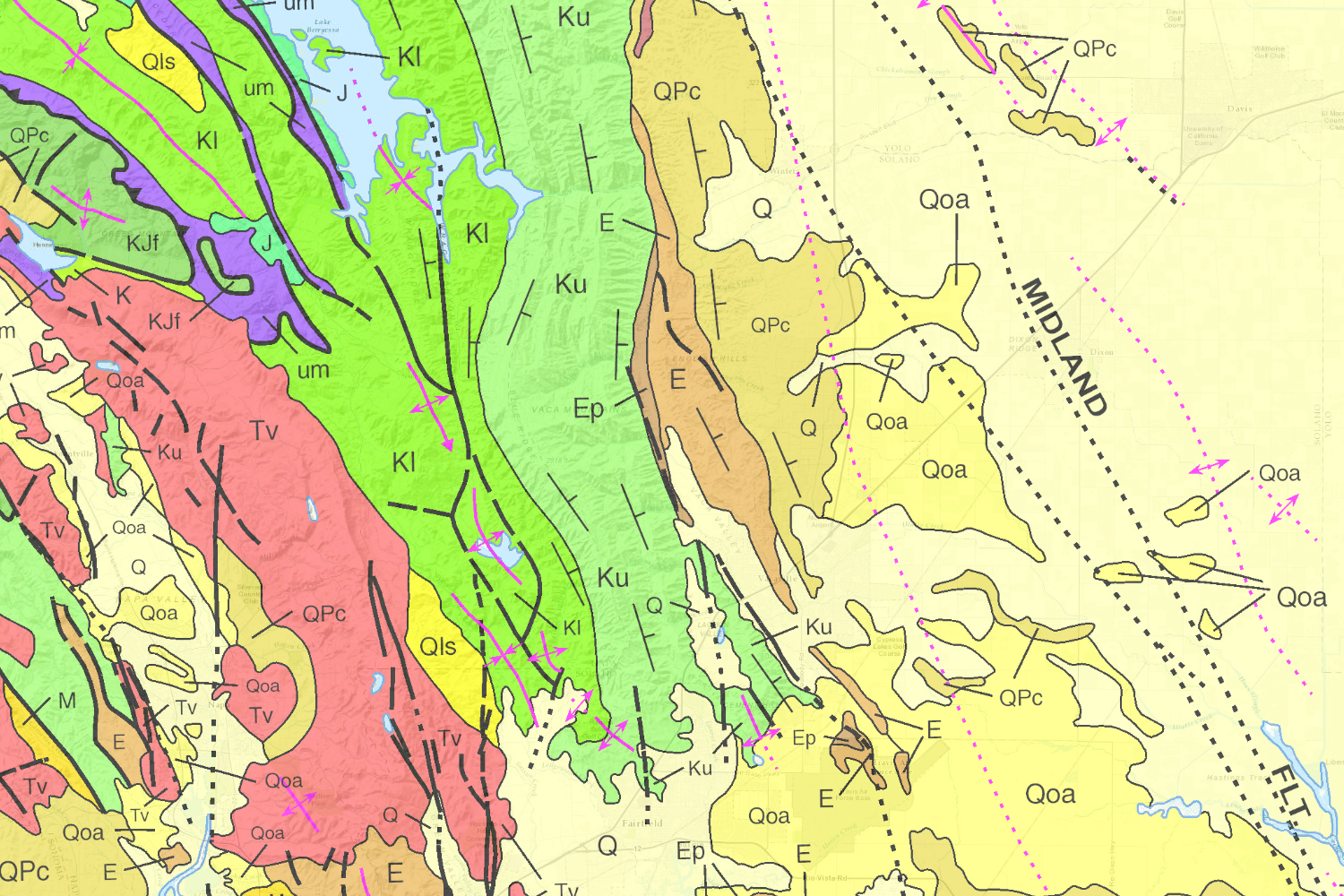
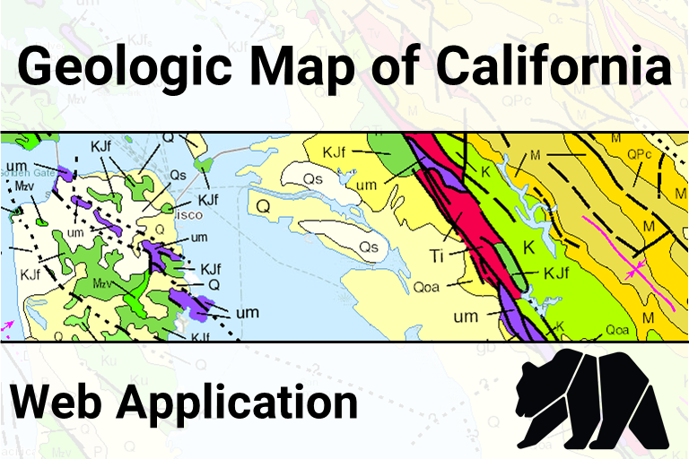
Geologic Map of California (open map)
-
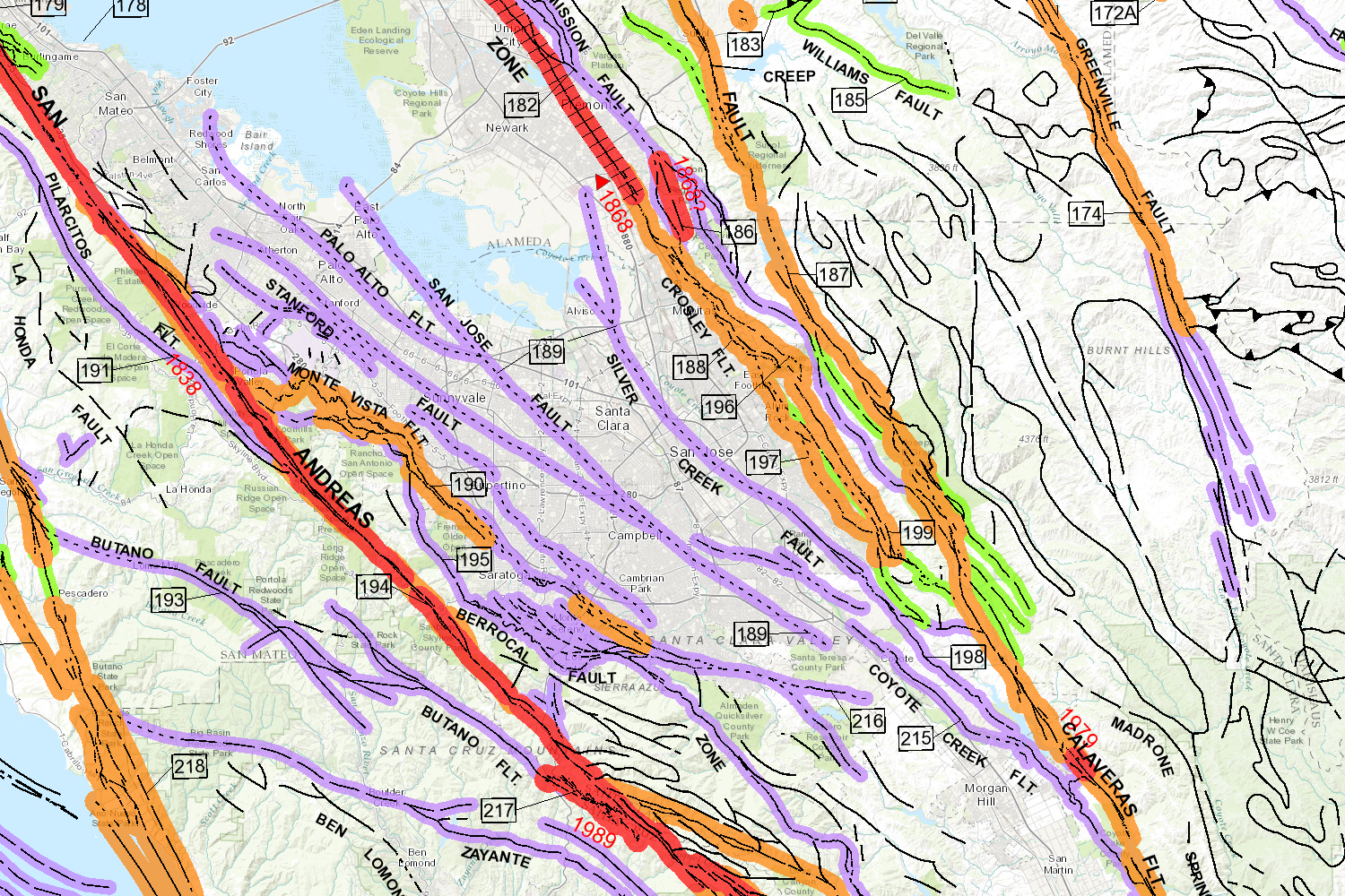
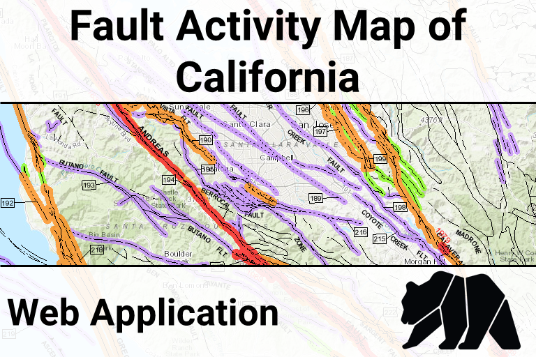
Fault Activity Map (open map)
-
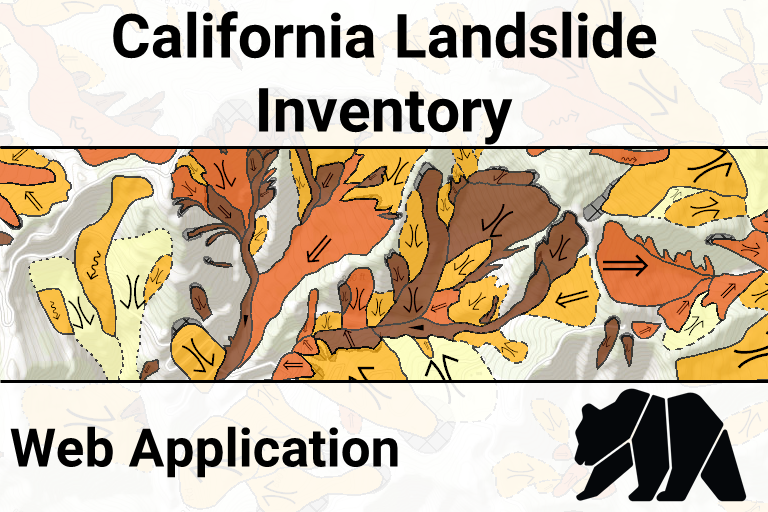
Landslide Inventory Database (open map)
Geologic Hazards Data & Maps
Notes:- [AGOL] indicates that the Department of Conservation's official ArcGIS Online account hosts the data using cloud-based services.