
About Geographic Information Systems at the Department of Conservation
Geospatial Data & Maps
The Department of Conservation (DOC) provides services and information that promote environmental health, economic vitality, informed land-use decisions, and sound management of our state’s natural resources. As home to the California Geological Survey, California Geologic Energy Managment Division, Division of Land Resource Protection, and Divison of Mine Reclamation, spatial data informs virtually every aspect of the Department’s activities.
Geographic Information Systems (GIS) are the means by which the department manages its spatial data. A GIS provides the ability to create, maintain, edit, query, analyze, and display data based on either locations on the ground or attributes in our databases. This very powerful tool enables the Department of Conservation to provide information and support or enforce policies to protect the state's environment, economy, and residents.
Our data spans a wide range of subjects: geology, agriculture, oil & gas, mining, seismic hazards, and mineral resources. Each dataset developed by one of the DOC's divisions is a member of one or more subject areas. These subject areas curate data based on common user groups or themes that reach across the boundaries of programs in the Department of Conservation.
Quick Access
- Ways to Access Data & Maps made available by the Department of Conservation
- Data & Map Formats: How the data is stored and distributed.
- Subject Areas: Curated data collections
- Interactive Web Maps: Subject specific web maps.
- Data Viewer: Pick the data to explore.
- Divisions in the Department of Conservation
- Searchable Data List: Find data
Ways to Access Data & Maps
The department provides data and maps in multiple ways. These range from downloadable data and maps to interactive web maps built on data services hosted by the department.
Published Maps
The Department of Conservation has a very long history of publishing maps. Many of these can be downloaded from our web or ftp sites. Some can be purchased as printed maps or reports for the cost of production. The data from many of the department's more recently published maps is available through downloads, as map services, or in interactive web maps.
Interactive Web Maps
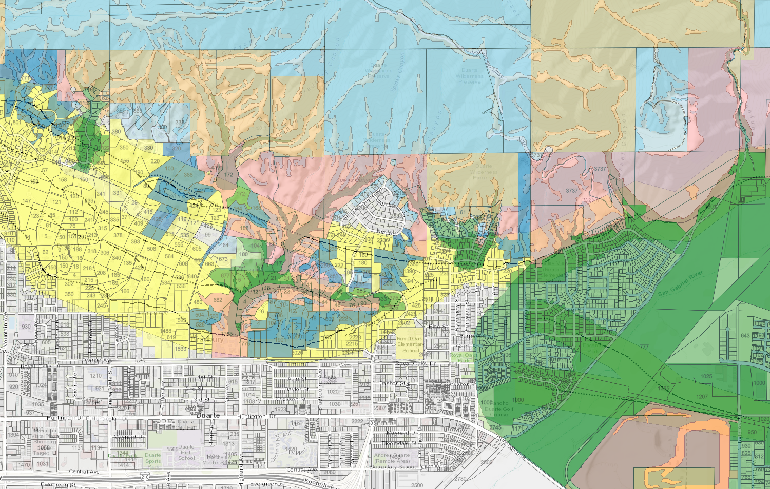
Interactive web maps, also called "web apps," provide easy access to spatial information on the internet. These web apps allow users to explore the data through the map and clicking on items of interest to retrieve more information. Some web apps contain large lists of data for exploring, and others are built for a specific purpose and contain carefully selected and prepared datasets.
Downloadable Data
Much of the department's data is downloadable for use on the user's computer. Please note, using these data will require that the user have GIS software installed.
Map Services
The DOC makes some of its data accessible through map services. These services can take multiple forms depending on the purpose, but provide the ability for any user to bring our data into their own work. For more information on DOC's services please visit the Web/GIS Developers Page.
Data & Map Formats
DOC distributes maps and data in multiple formats. The department is moving towards making all appropriate data available as services or downloadable GIS data. These are formats you are likely to encounter for data or maps produced by the department.
Scanned Images
Many older maps are available as scans (PDF or TIF) of the original paper or Mylar maps. These have likely not been converted into data directly usable in GIS yet. Many of these downloads are large, potentially in the 100s of megabytes for detailed scans. Some scanned images have been georegistered so that they can be brought into a GIS and they will appear in the correct location and scale.
PDF or GeoPDF
PDF and GeoPDF maps can be opened with Adobe Acrobat Reader. Many of them have map layers that can be turned on and off. The GeoPDF format provides additional functionality for locating and querying features.
Zipped Shapefile or File Geodatabase
A downloaded shapefile or file geodatabase is a full copy of the data usable in GIS software. Some format and software combinations may require that the data be imported prior to use.
Map Services
The term service is used both generically to describe an internet service that provides map information to a client, and specifically to describe a service that renders the map on the server and provides it to the client (web browser, app, or GIS software) as an image. When using a specific map service the client is not provided with the actual data, just a view of it. "Feature Services," on the other hand, provide the data to the client and rely upon the client to render the map for viewing. The DOC provides some of each type of service, with several detailed options. For more details please see the Web/GIS Developers page.
Subject Areas
Interactive Web Maps
-
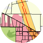
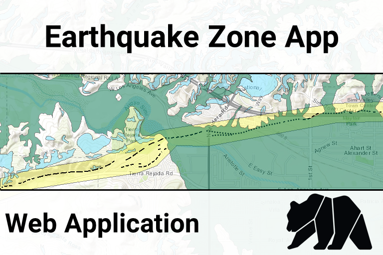
Earthquake Zone App (open map)
-
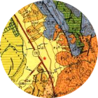
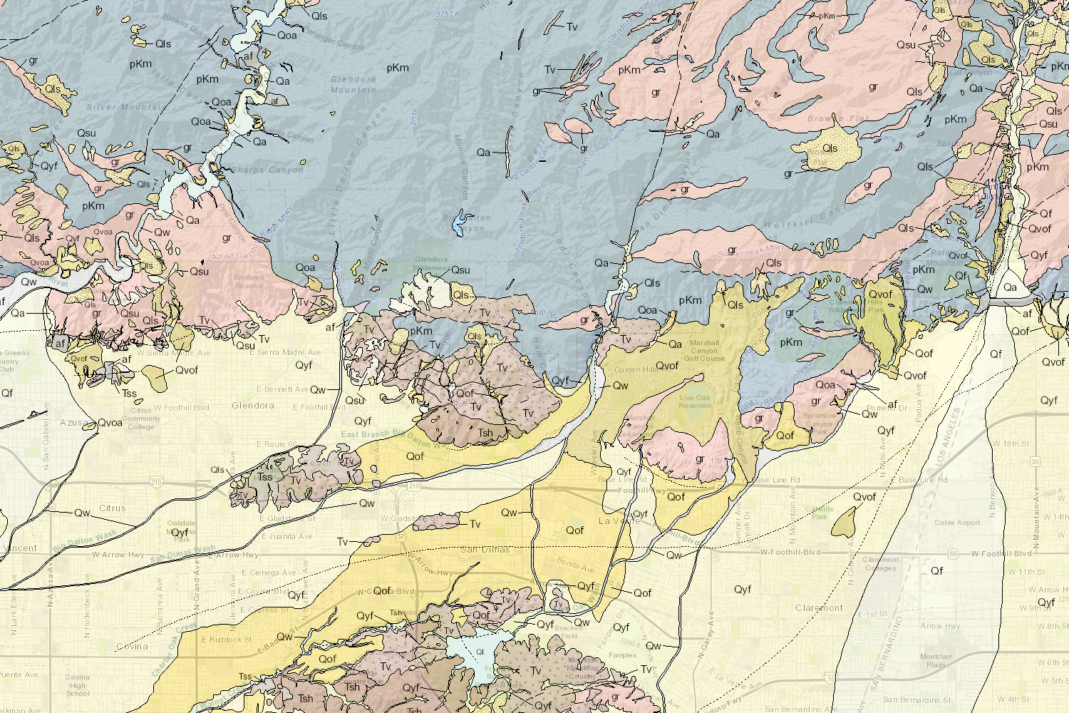
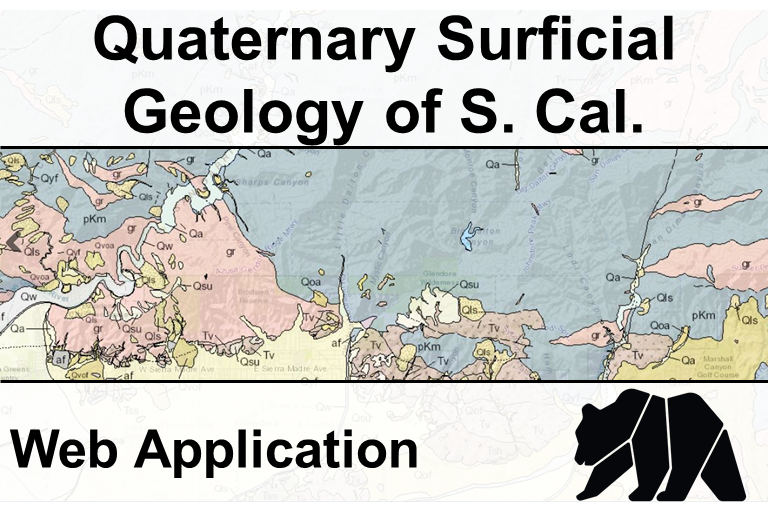
Quaternary Surficial Geology of Southern California(open map)
-
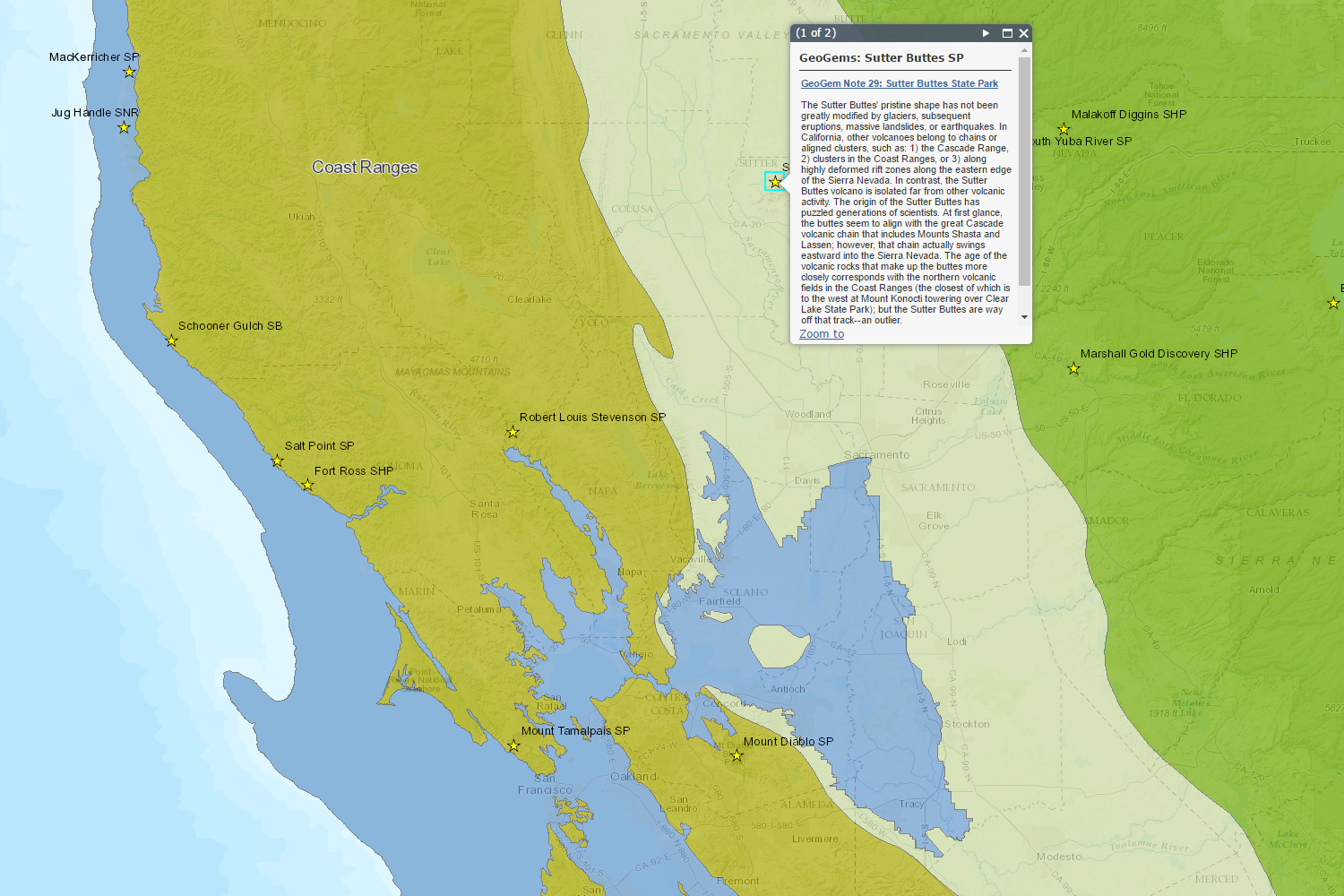
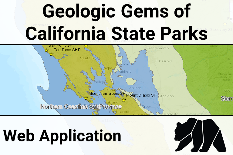
Geologic Gems of the California State Parks(open map)
-
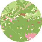
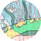
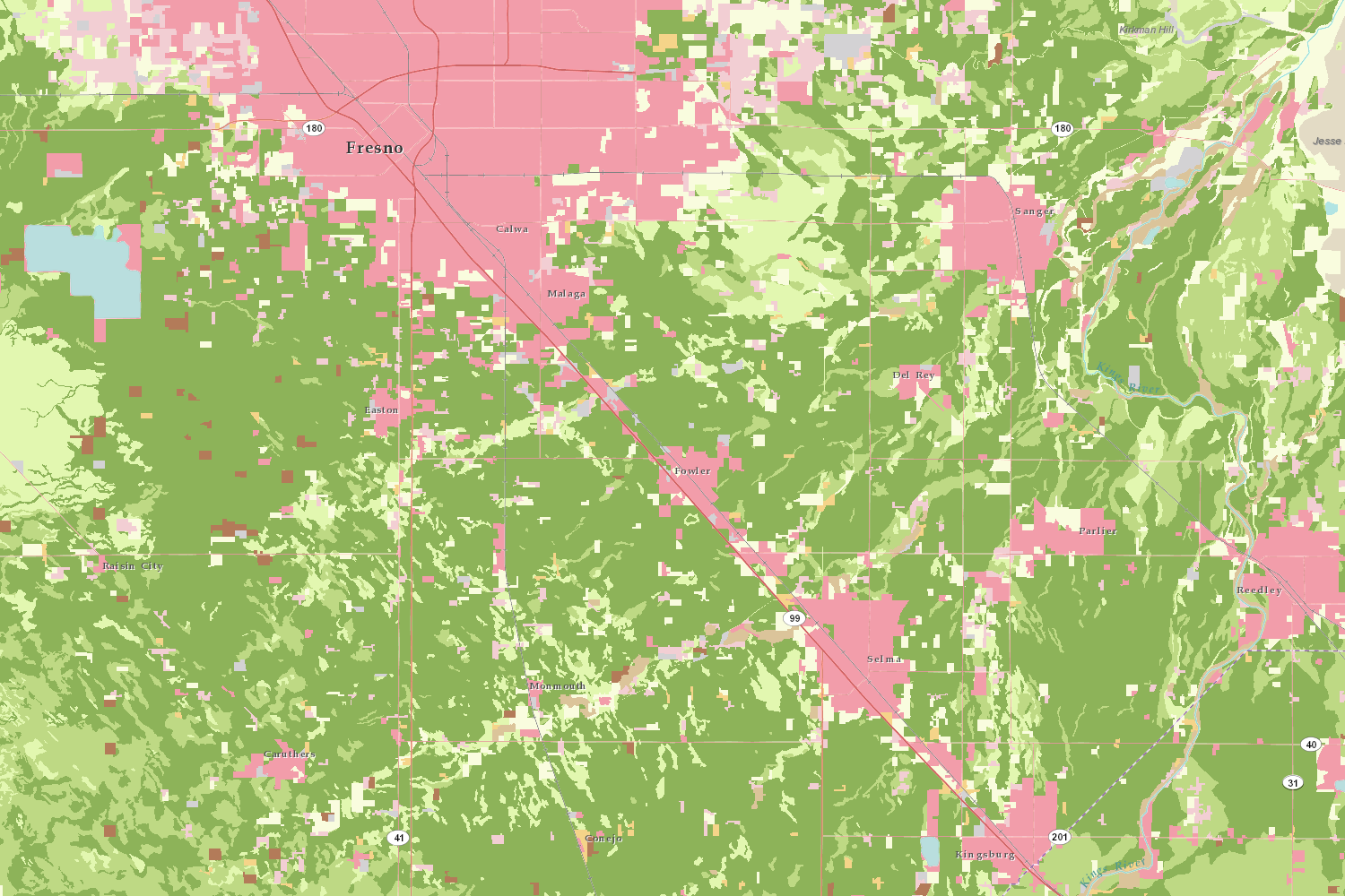
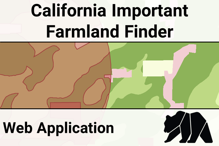
California Important Farmland Finder (open map)
-
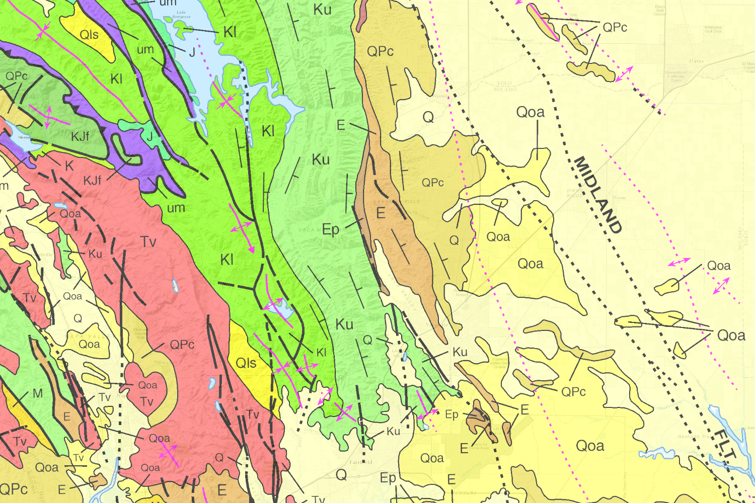
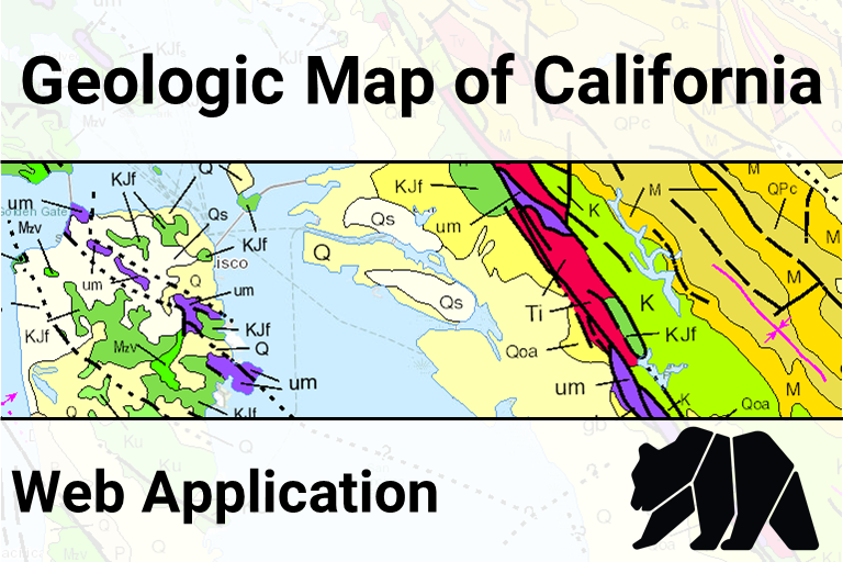
Geologic Map of California (open map)
-
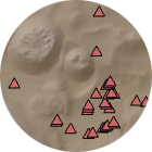
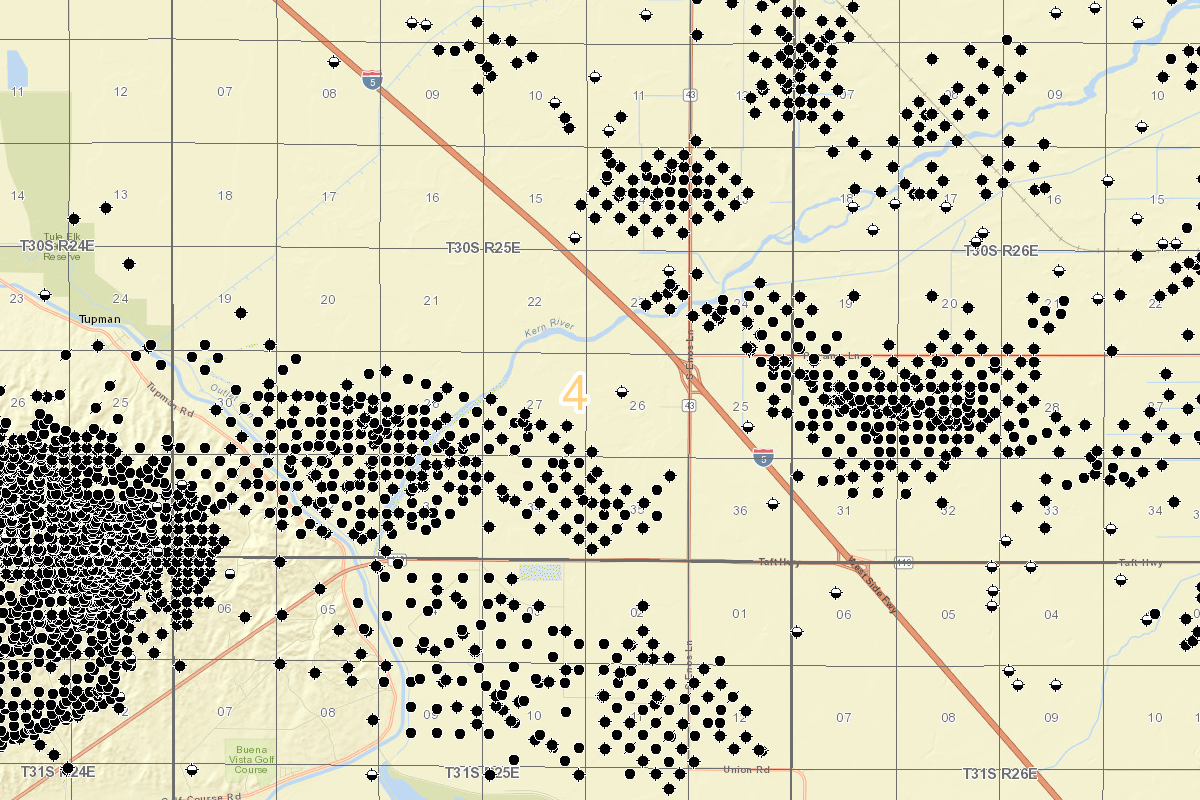
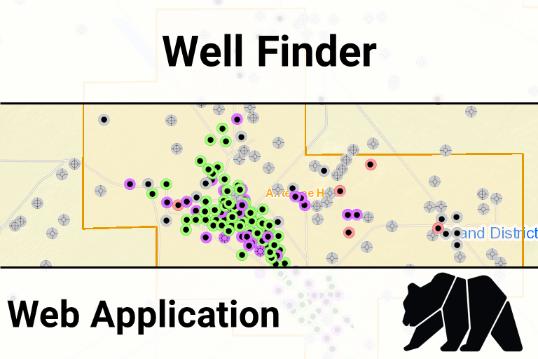
Oil & Gas Well Finder (open map)
-
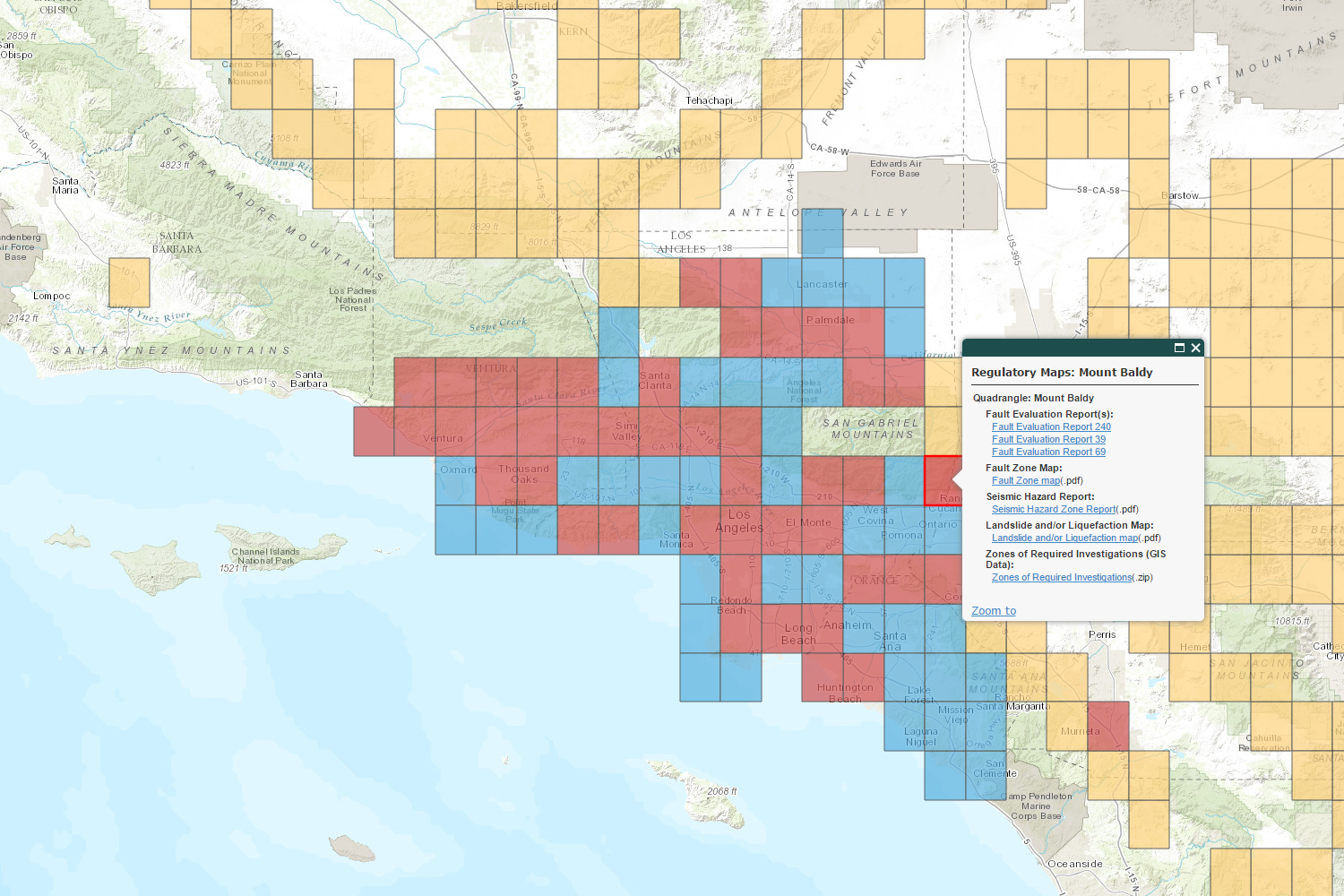
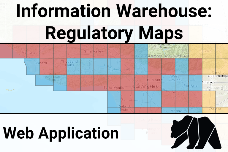
CGS Information Warehouse Regulatory Maps (open map)
-
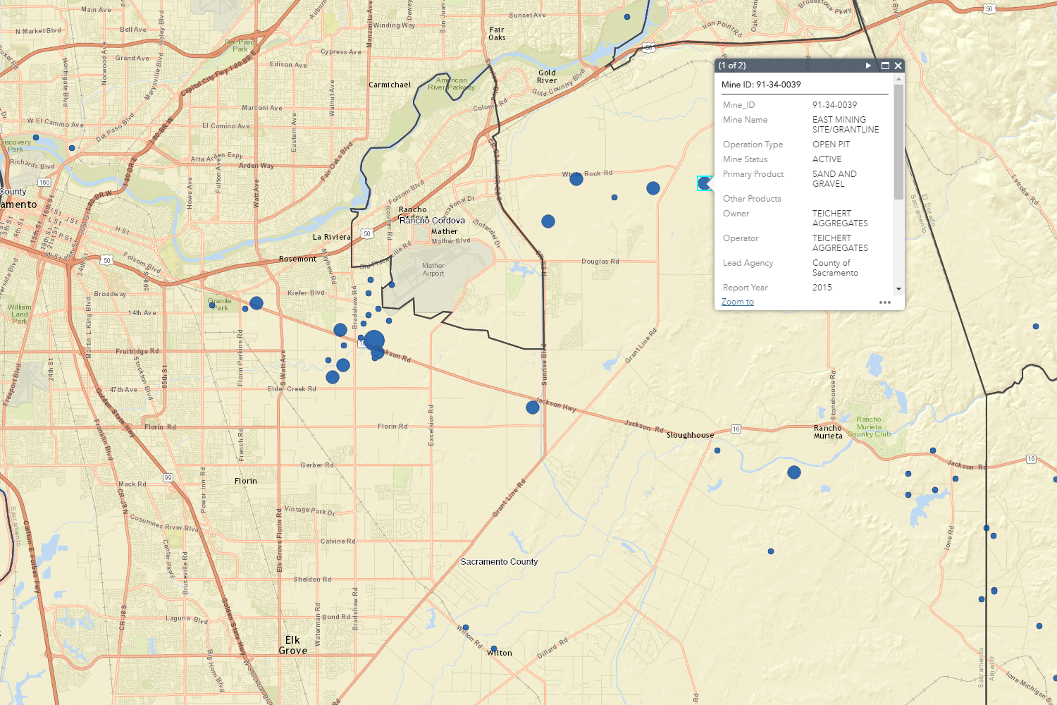
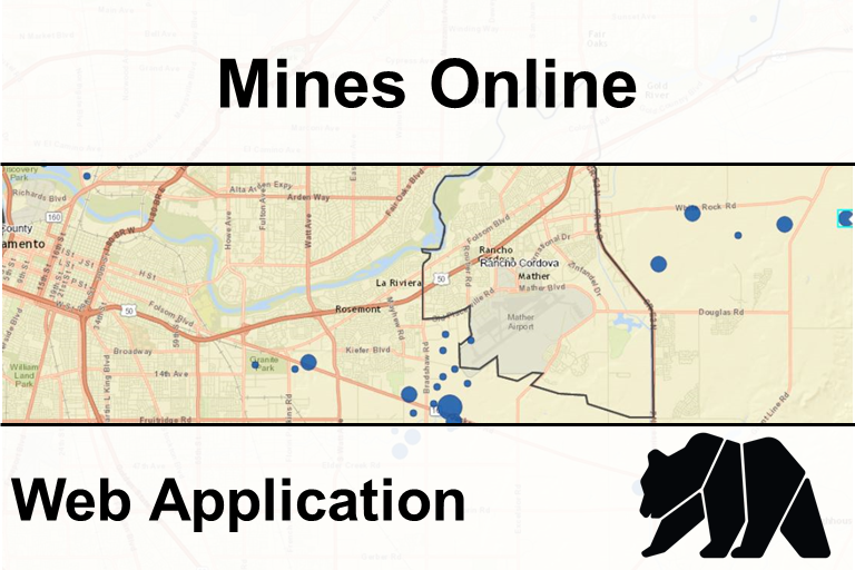
Mines Online (open map)
-
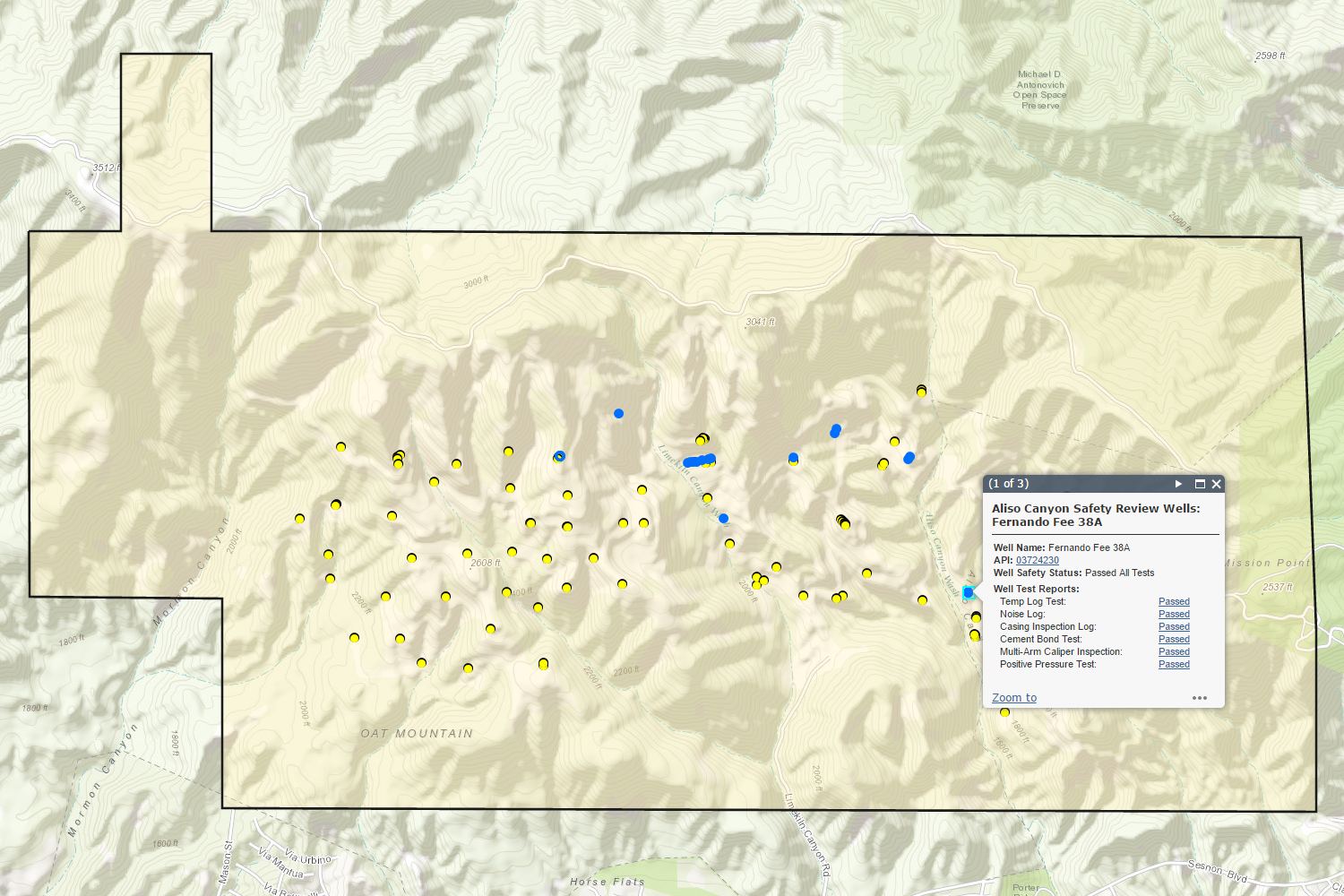
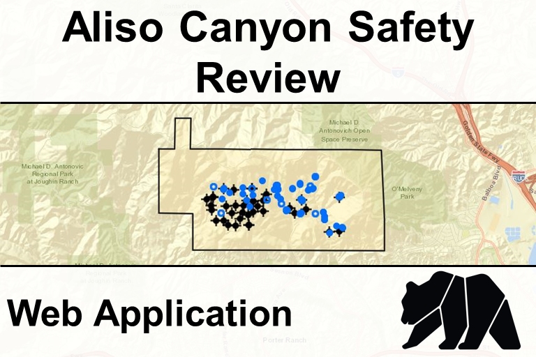
Aliso Canyon Safety Review (open map)
-
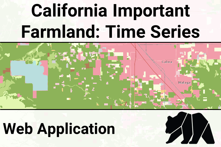
Important Farmland Time Series (open map)
-
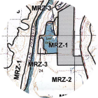
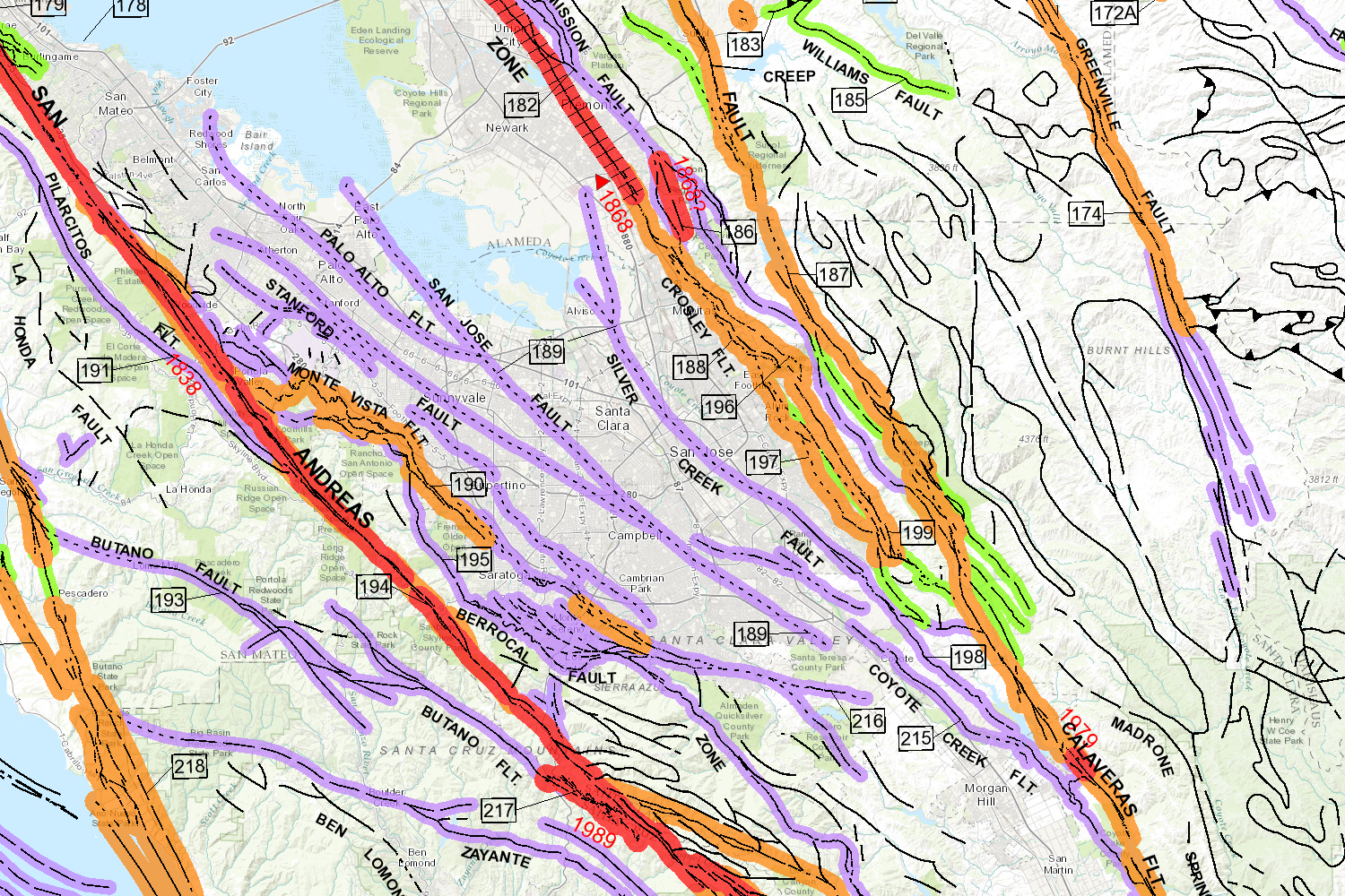
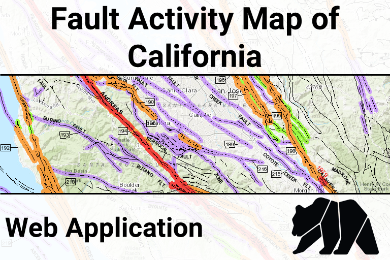
Fault Activity Map (open map)
-
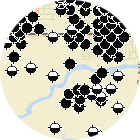
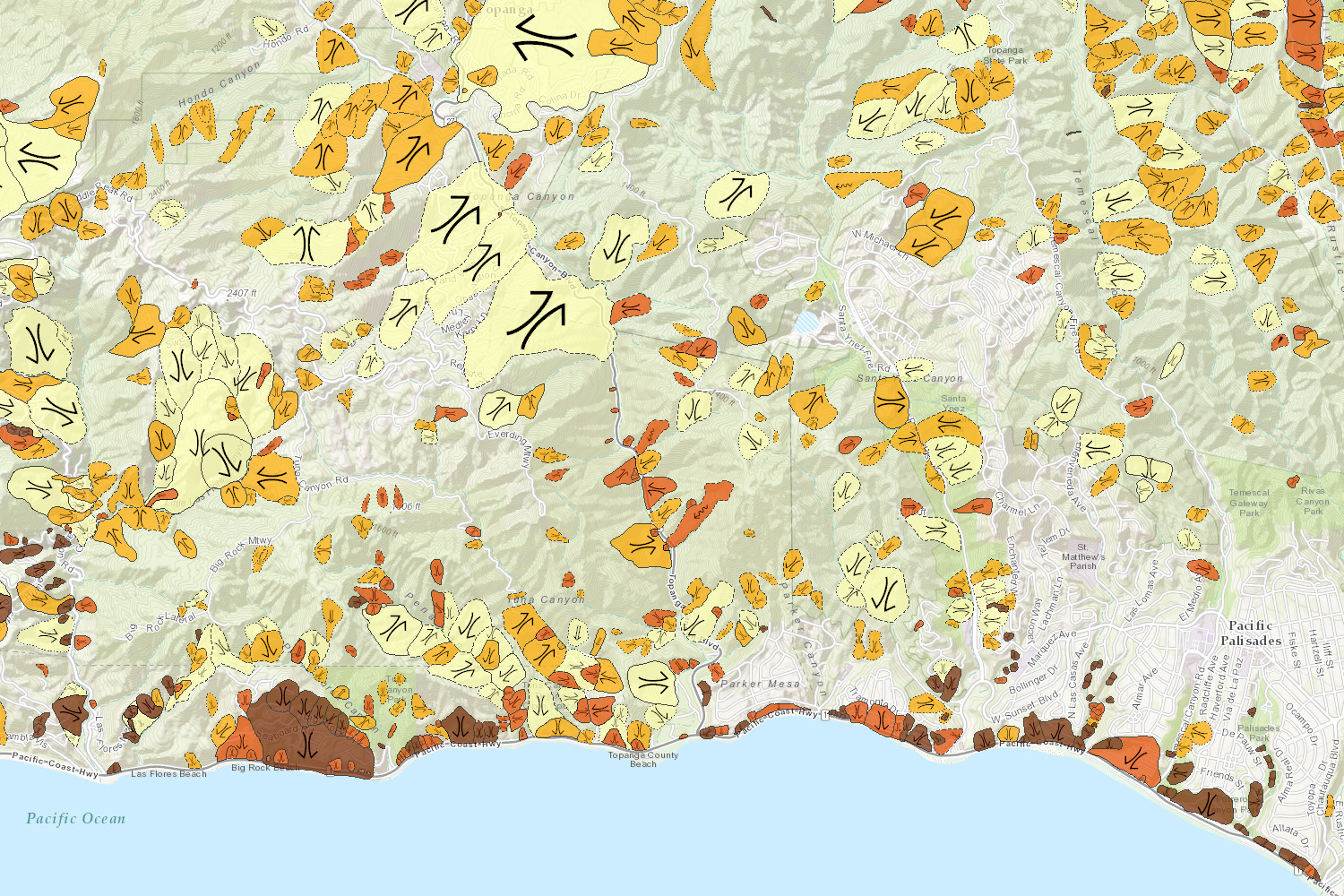
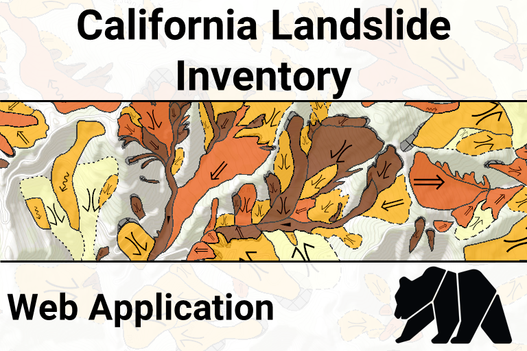
Landslide Inventory Database (open map)
-
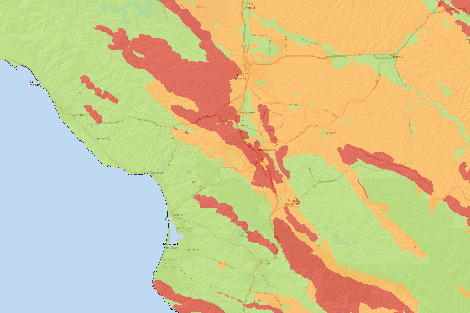
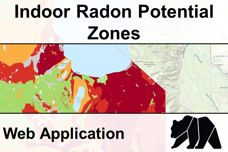
Indoor Radon Potential (open map)
Data Viewer
Divisions of the Department of Conservation
California Geological Survey
The California Geological Survey provides scientific products and services about the states's geology, seismology, and mineral resources.Division of Land Resource Protection
The Division of Land Resource Protection works with landowners, local governments, and researchers to conserve the state's farmland and open spaces.Geologic Energy Management Division
The Geologic Energy Management Division, formerly the Division of Oil, Gas, and Geothermal Resources (DOGGR), oversees the drilling, operation, maintenance, and plugging and abandonment of oil, natural gas, and geothermal wells in California.Division of Mine Reclamation
The Division of Mine Reclamation (DMR) provides oversight to lead agencies on a mining operation's reclamation plan and financial assurance. DMR's Abandoned Mine Lands program addresses the state's abandoned legacy mines.Searchable Data List
Notes:- [AGOL] indicates that the Department of Conservation's official ArcGIS Online account hosts the data using cloud-based services.