DOC Maps: Oil & Gas
The California Geologic Energy Management Division (CalGEM), formerly the Division of Oil, Gas, and Geothermal Resources (DOGGR), oversees the drilling, operation, maintenance, and plugging and abandonment of oil, natural gas, and geothermal energy wells.
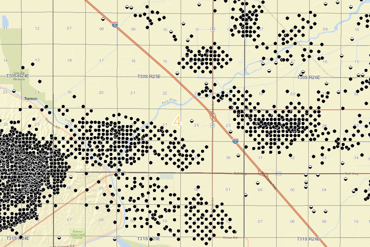
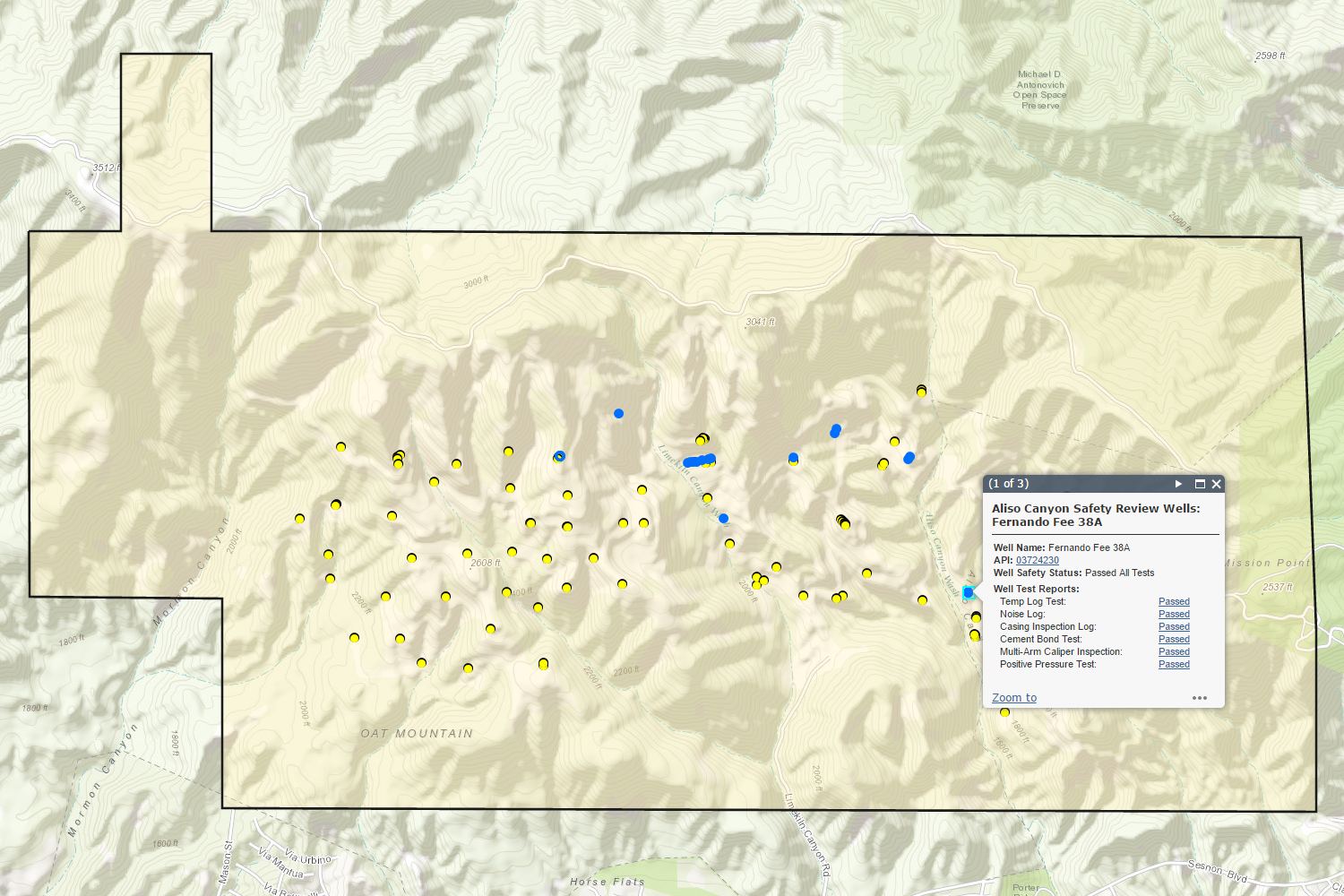
GIS data published by CalGEM includes regular updates to well locations and status, oil field boundaries, lease boundaries, and district boundaries. Well location data include a subset of the available information about each well, but can be linked to publicly accessible well databases.
Quick Access
- Interactive Web Maps: Subject specific web maps
- Oil & Gas Related Data & Maps: Find Data
Interactive Web Maps
Scroll through the available web maps at the bottom. Click on the large picture (or the Open Map link) to open the web map in a new tab.Oil & Gas Related Data & Maps
Notes:- [AGOL] indicates that the Department of Conservation's official ArcGIS Online account hosts the data using cloud-based services.


