
DOC Maps: Land Use Planning
The California Department of Conservation supports local, regional, and state planning with geospatial data. These data cover many aspects of the states agricultural, geologic, mining, and oil and gas production landscape. This page provides a curated collection of planning related resources distributed by the Department of Conservation.
Quick Access
- Interactive Web Maps: Subject specific web maps
- Land Use Planning Related Data & Maps: Find data
Interactive Web Maps
Scroll through the available web maps at the bottom. Click on the large picture (or the Open Map link) to open the web map in a new tab.-
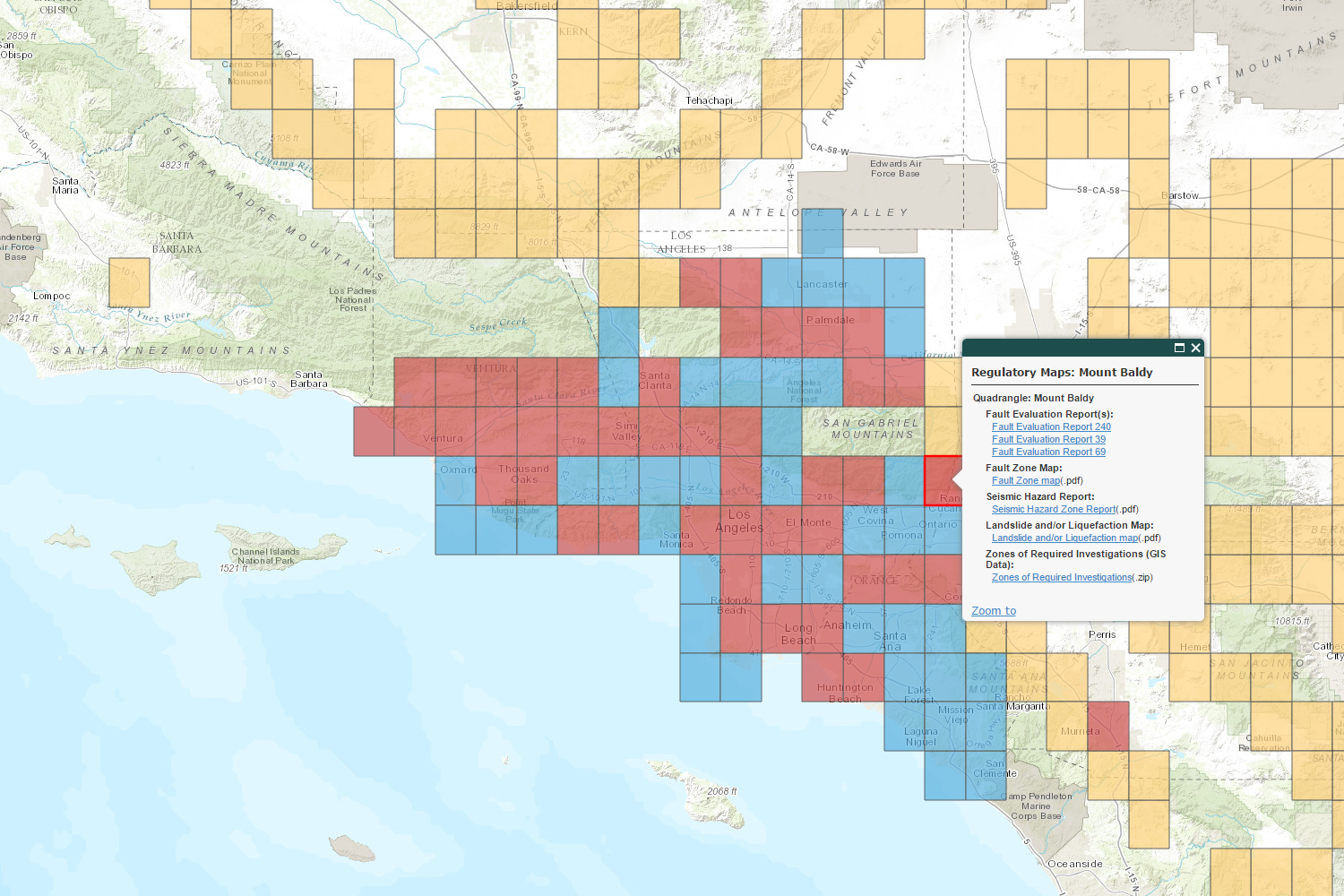
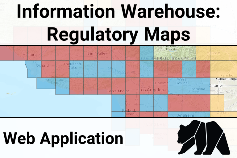
CGS Information Warehouse: Regulatory Maps (open map)
-
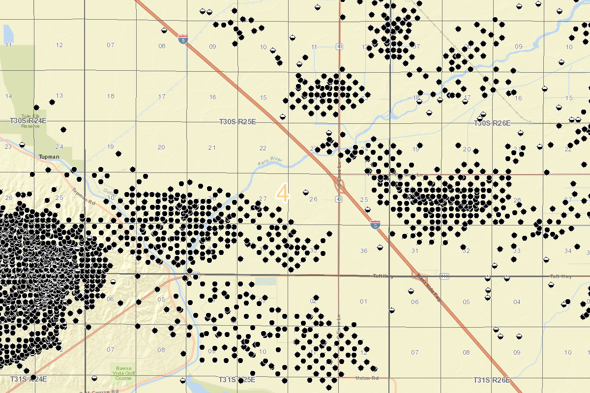
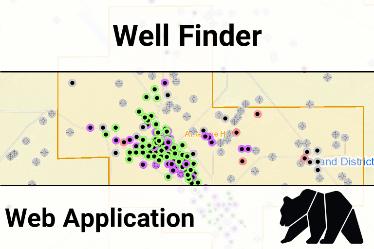
Oil & Gas Well Finder (open map)
-
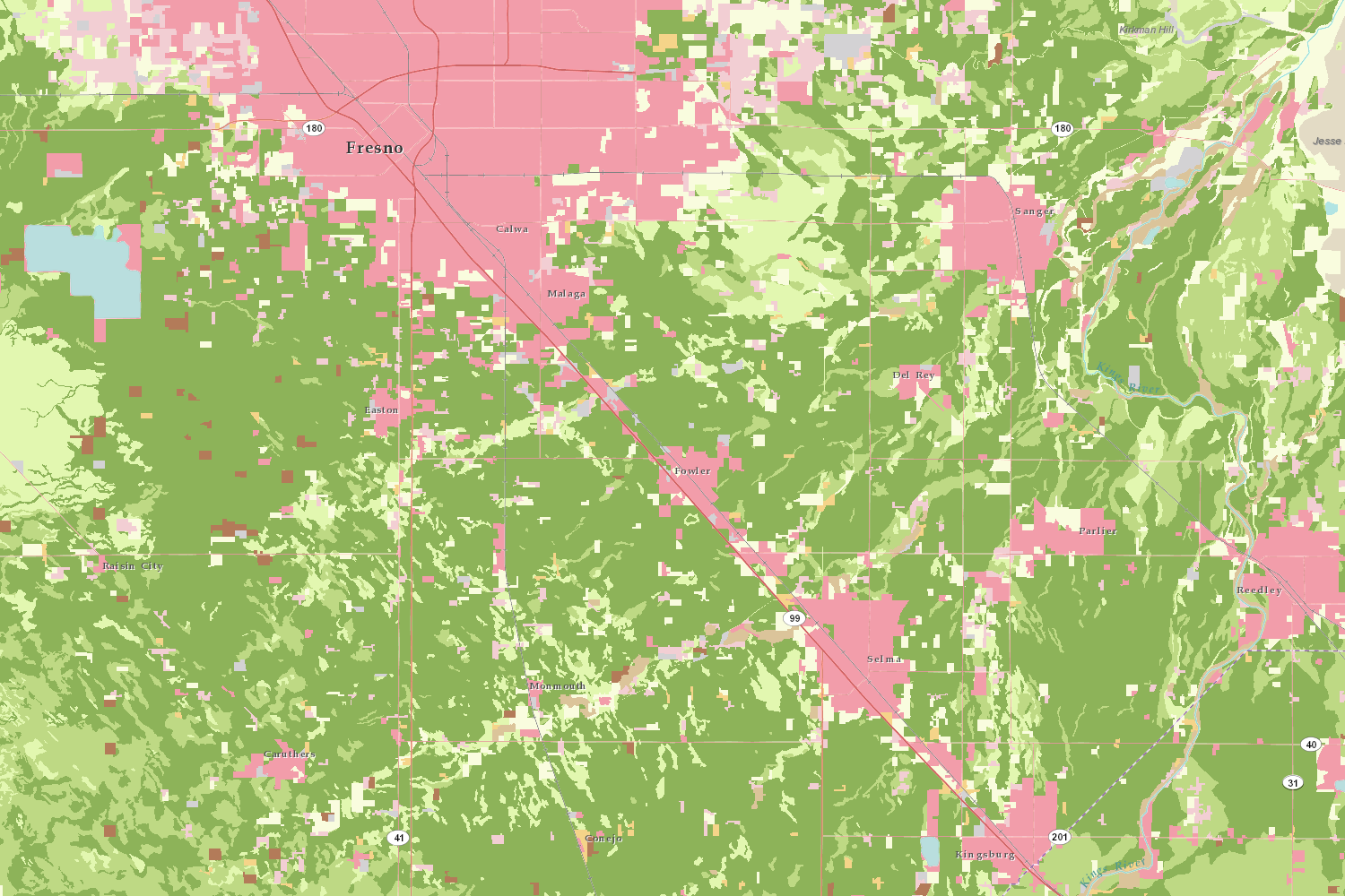
California Important Farmland Finder (open map)
-
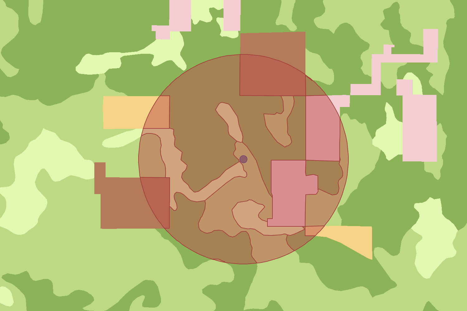
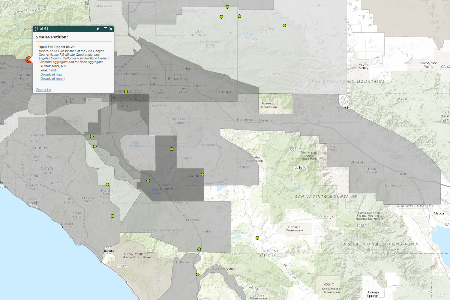
CGS Information Warehouse: Mineral Land Classification (open map)
-
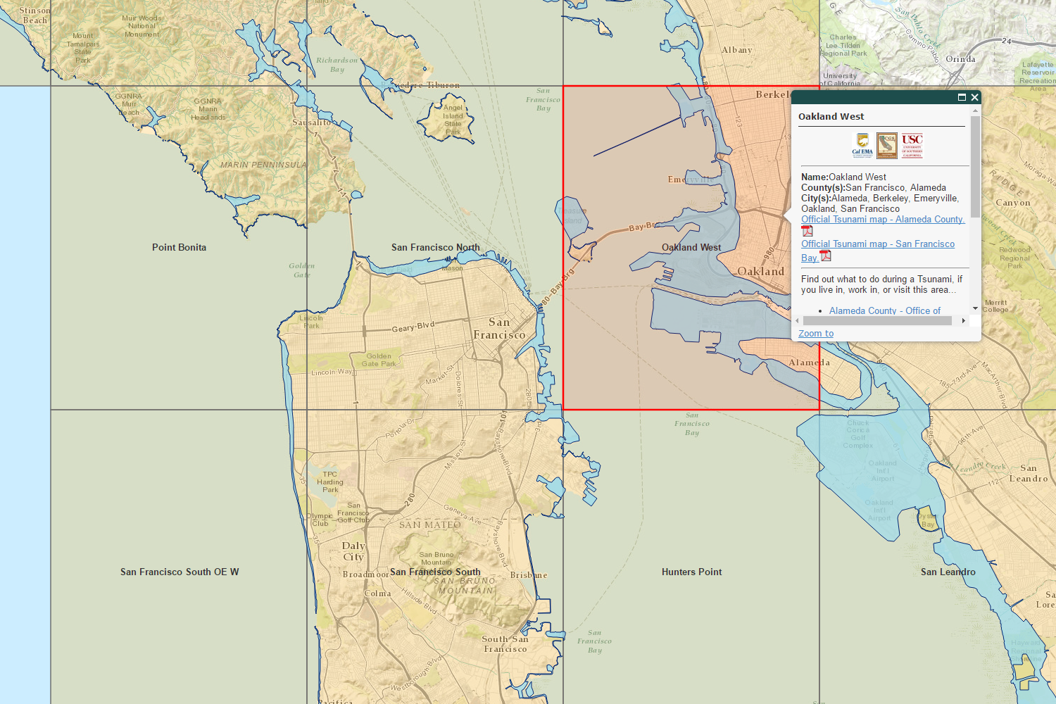
CGS Information Warehouse: Tsunami Inundation Zones (open map)
-
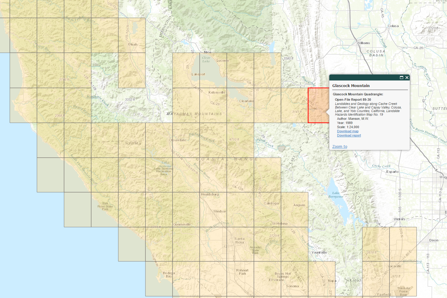
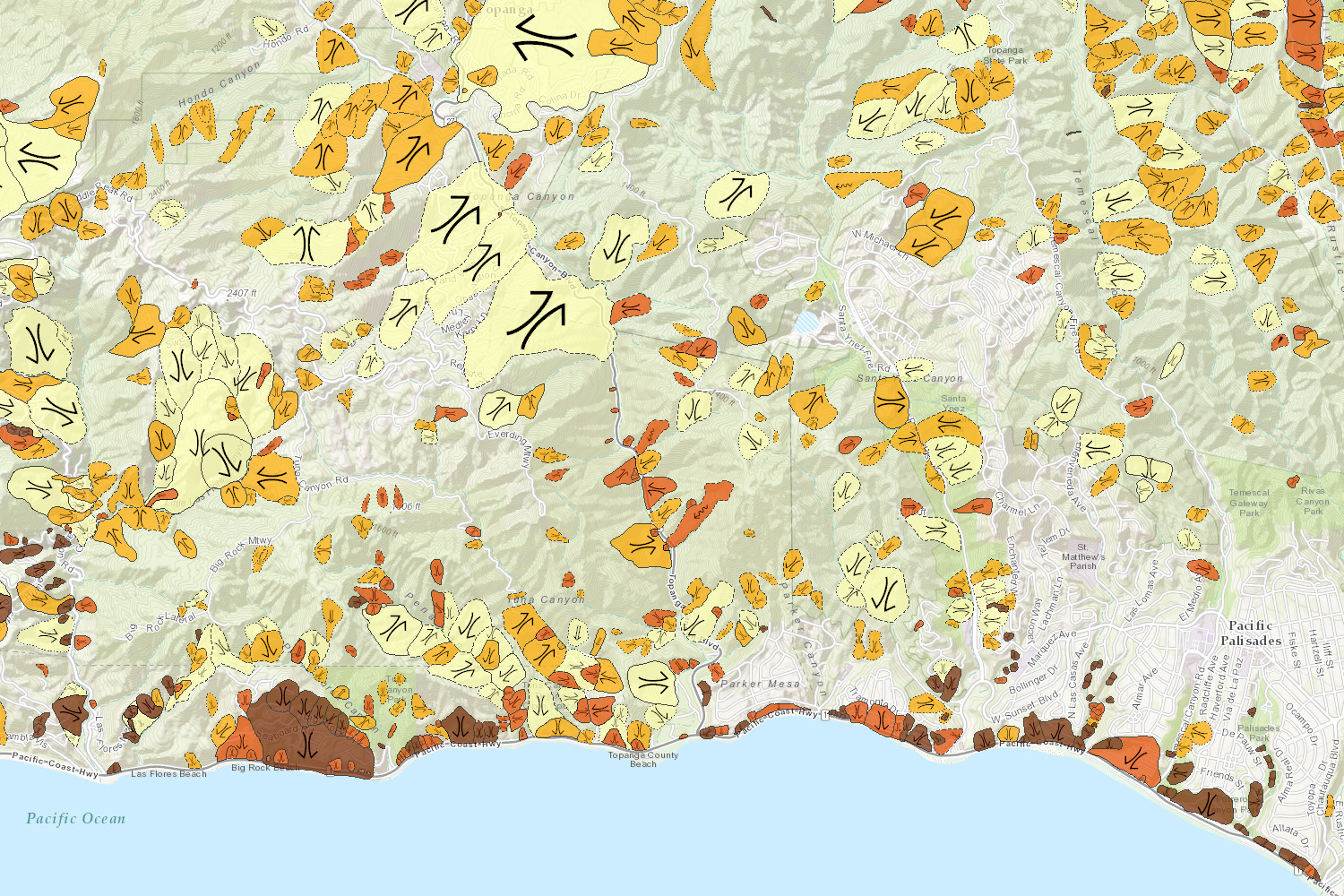
CGS Information Warehouse: Landslide Maps and Reports (open map)
-
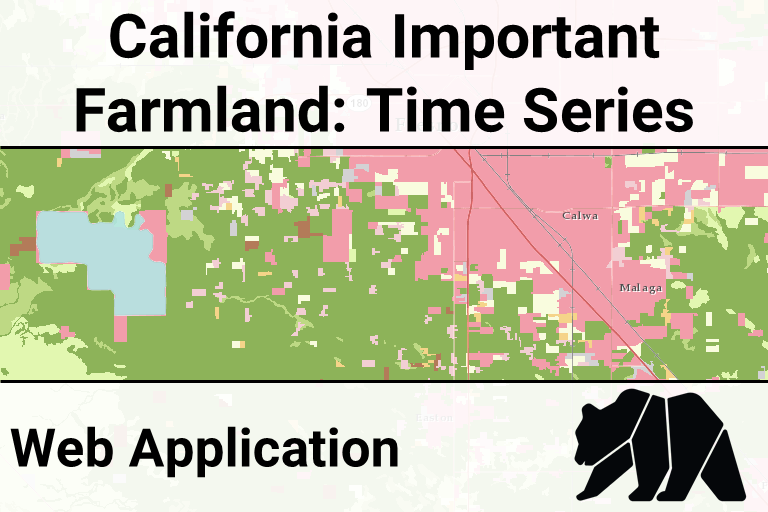
Important Farmland Time Series (open map)
-
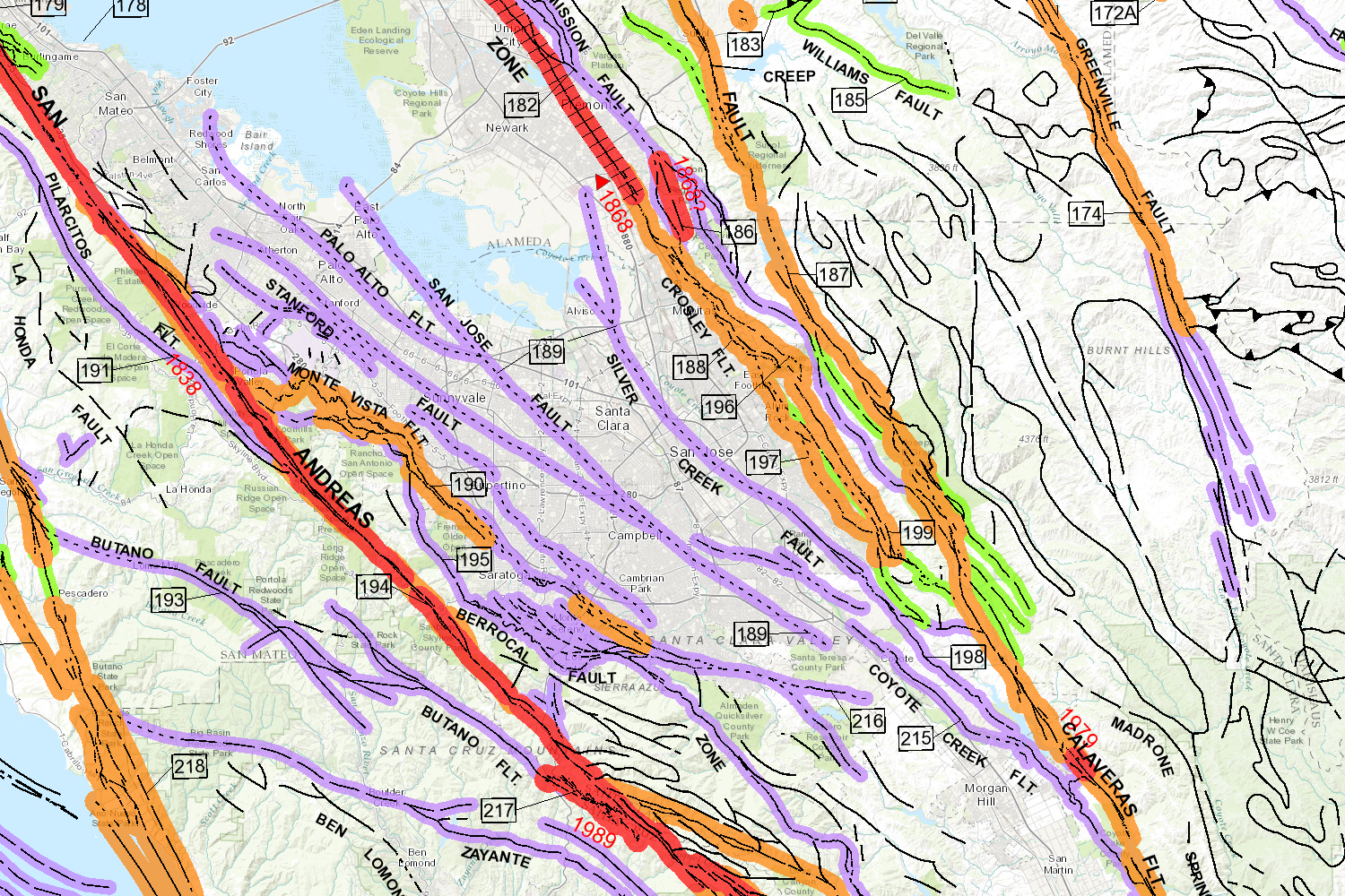
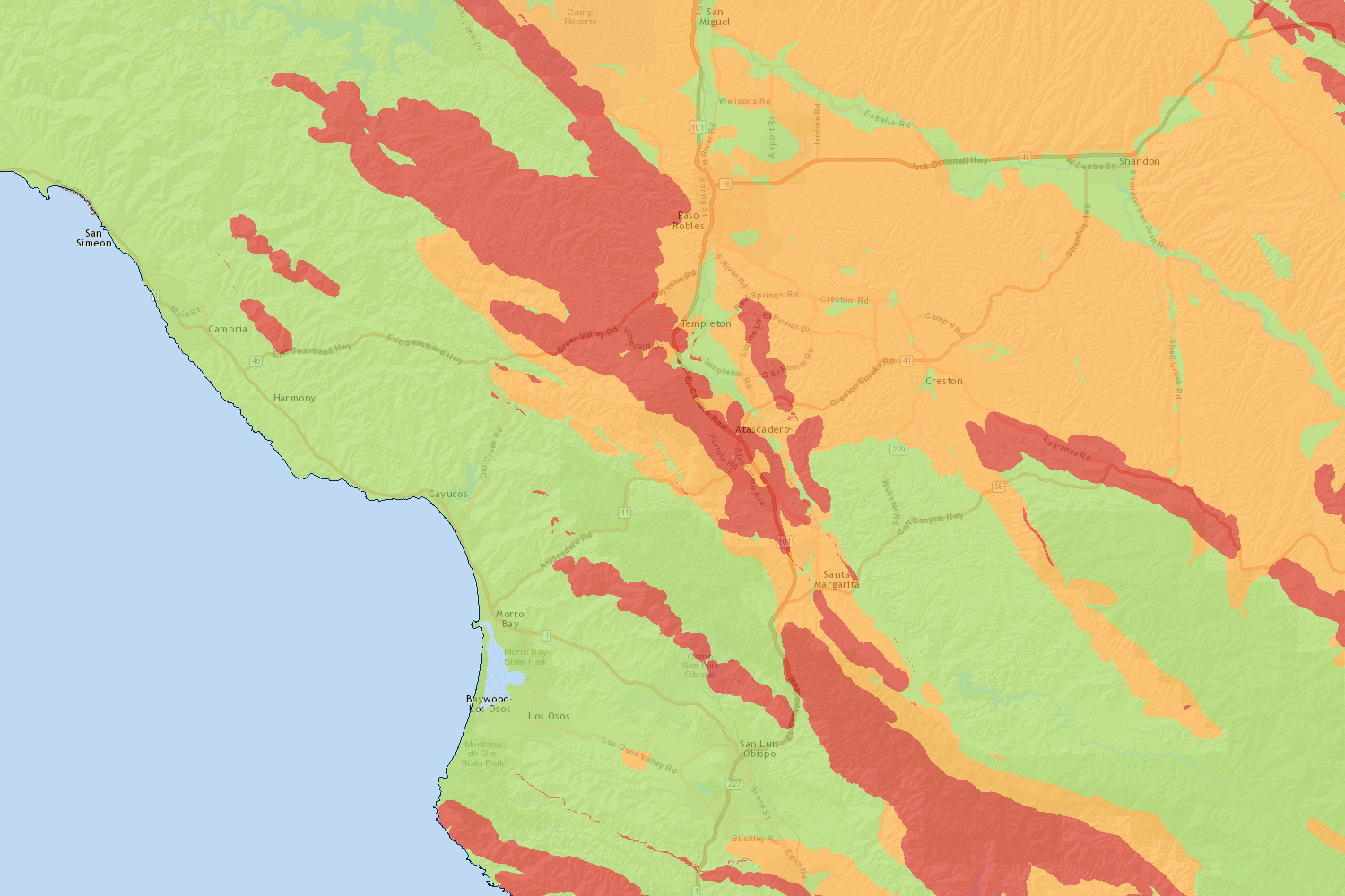
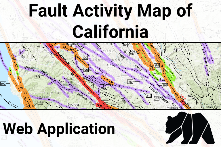
Fault Activity Map (open map)
-
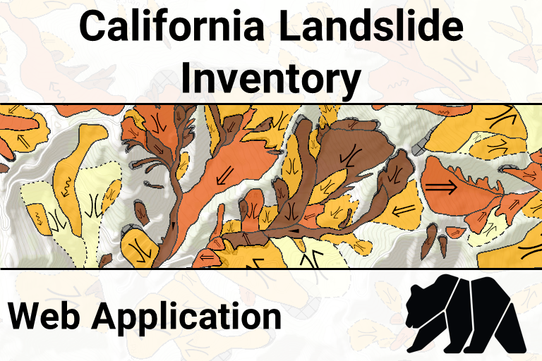
Landslide Inventory Database (open map)
-
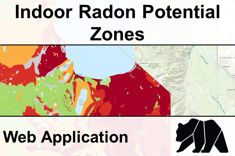
Indoor Radon Potential (open map)
Land Use Planning Related Data & Maps
Notes:- [AGOL] indicates that the Department of Conservation's official ArcGIS Online account hosts the data using cloud-based services.